What is recorded here
No visible tower or wall on the hill. A buried chamber under the mound, waiting for the right knife, the right blood, the right moment to remember its shape.
Internal diam. 20m-25m. A circular platform formerly enclosed by a massive earthen bank which survives on the N and E sides. It is raised 2m above the surrounding field and the bank survives up to 1m in height. It is very overgrown but is situated in good pasture with wide views. There are local traditions of a 'tunnel' in the 'fort'.
The above description was derived from the 'Archaeological Survey of County Donegal. A description of the field antiquities of the County from the Mesolithic Period to the 17th century.' Compiled by: Brian Lacey with Eamon Cody, Claire Cotter, Judy Cuppage, Noel Dunne, Vincent Hurley, Celie O'Rahilly, Paul Walsh and Seán Ó Nualláin (Lifford: Donegal County Council, 1983). In certain instances the entries have been revised and updated.
Date of upload: 22 September 2008
The monument record does not grant public access. Check the route and ask the landowner before entering private land.
- What survives
- Recorded monument
Places near here
 Enclosure in TiriniskEnclosure · 1674 yd
 Holy WellHoly well · 1.1 mi
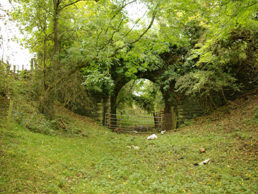 bridgebridge · 1.1 mi
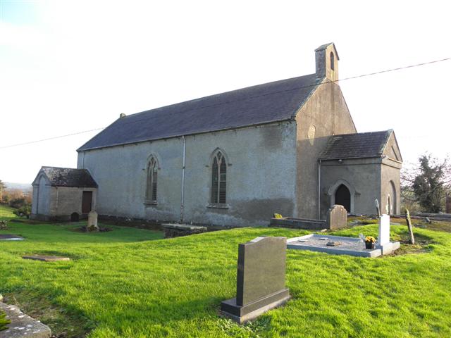 St. Patrick's Church of Ireland Churchchurch/chapel · 1.2 mi
 CastleCastle, unclassified · 1.3 mi
 OutlinedBawn · 1.5 mi
 BATTLE SITE: in 789 AD & BATTLE OF THE FORDS , Southern crossing, 1689 in Clady; DonnygowanBATTLE SITE: in 789 AD & BATTLE OF THE FORDS , Southern crossing, 1689 · 2.8 mi
 Carnowen HillMountain / peak · 2.8 mi
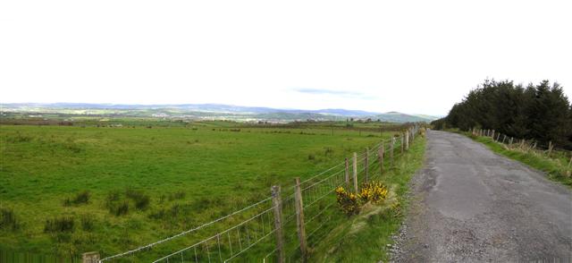 Fearn HillMountain / peak · 3.2 mi
 Feddyglass WoodWood · 7.3 mi
 Killeter ForestForest · 12 mi
 Newmills Corn and Flax MillsHeritage attraction · 13 mi