What is recorded here
Fairy fort in Lisnamuck, County Longford: an oval rath, 54.4m by 42.1m, with a low wide bank and shallow outer ditch on a gentle NNE-facing pasture slope. Its eastern entrance still shows a break and causeway traces, while the ditch has partly filled but remains visible. The name suggests people once placed it beyond ordinary human life, yet its shape is plainly made: a boundary, an entrance, and a small defended or ceremonial space shaped into the land.
On a gentle NNE-facing slope in pasture. A raised oval area (54.4m N-S; 42.1m E-W) enclosed by a much-denuded, wide, low bank of earth and stone (Wth 7.5m; H 0.4m) with a wide, shallow, external fosse (Wth 5.2m; D 0.3m). The latter has been infilled from SSW-N-NNE but its outline is still identifiable. A report in 1975 (SMR file) recorded vague traces of a possible outer bank at SW, which are no longer identifiable. A wide break (Wth 4.7m) in the bank at ENE with traces of an accompanying causeway marks the original entrance.
Compiled by: Patrick F. O'Donovan
Date of upload: 26 August 2011
The monument record does not grant public access. Check the route and ask the landowner before entering private land.
- What survives
- Recorded monument
Places near here
 Fulacht fia in LisnamuckFulacht fia · 170 yd
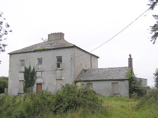 Ashfield Househouse · 322 yd
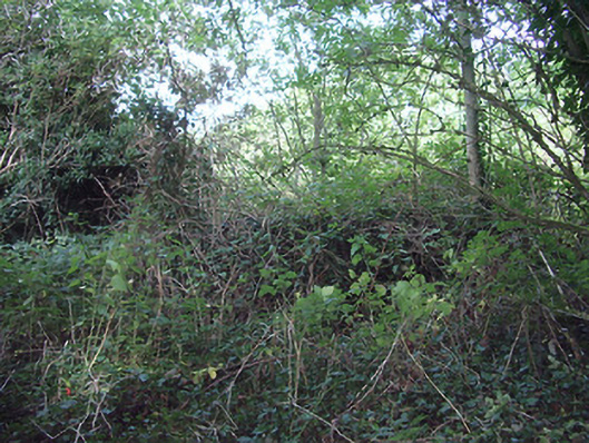 church/chapelchurch/chapel · 739 yd
 IndicatedFairy fort / earthen ringfort · 795 yd
 Bawn in AbbeycartronBawn · 1.0 mi
 Saint Mel's CathedralCathedral · 1.0 mi
 First World War MemorialMemorial · 1.2 mi
 CastleCastle, Anglo-Norman masonry castle · 3.2 mi
 Graveyard in Curry (ardagh By., Coolamber Ed)Graveyard · 3.9 mi
 Commons North WalkVisitor information · 9.8 mi
 Wild birdsVisitor information · 10.0 mi
 White Sand WoodWood · 10 mi