What is recorded here
Fairy forts are human making; that is the shape of the truth. This is a rath, an earthen ringfort on a gentle slope in pastureland, with a possible rectangular annexe beside it and a man-made underground passage in its west half. Cattle may have walked across it for centuries, softening the bank and pulling the story into legend. The fairies did not build it. People did, and forgot, and the forgoing is the magic.
On a gentle E-facing slope in pastureland. Poorly preserved irregularly shaped rath (30.2m NNW-SSE; 28.9m ENE-WSW) defined by an earthen bank. A field wall cuts through the monument at NW and SW and no visible surface trace of the bank survives to the W of it. Along the S sector, the enclosing bank appears to be straight. To the S of it there is a possible annexe, rectangular in plan (ENE-WSW 22.5m; NNW-SSE 19.7m). It is defined by a bank of similar construction to the rath and it contains a Man-made underground passage (GA104-182001-) in its W half. (Knox and Redington 1916, 180; McCaffrey 1952, 237, no. 100)
Compiled by: Galway Archaeological Survey, UCG
Date of upload: 18 January 2018
The monument record does not grant public access. Check the route and ask the landowner before entering private land.
- What survives
- Recorded monument
Places near here
 IndicatedFairy fort / stone ringfort · 1676 yd
 Ardnamoran ChurchChurch · 1.1 mi
 LisheenodayFairy fort / earthen ringfort · 1.2 mi
 Cloghroak Castle (in ruins)Castle, tower house · 1.3 mi
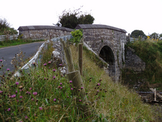 bridgebridge · 1.5 mi
 Site of Shanbally CastleCastle, unclassified · 2.4 mi
 Kilcornan ForestWood · 4.2 mi
 Drumharsna CastleHeritage attraction · 4.4 mi
 Loughaun WoodWood · 4.8 mi
 Mulroney's IslandIslet · 7.5 mi
 Mweenish PointHeadland · 7.9 mi
 Mweenish IslandIslet · 8.6 mi