What is recorded here
Lisnaglea’s fairy fort, a substantial earthen bank and slight remains of a fosse, still marks a raised circular area about 39m across in County Cavan. A field boundary now cuts the site into two, and the southern half has been levelled, but the northern curve remains visible enough to suggest a place once shaped for living, not merely for legend. The original entrance has disappeared, yet the bank still holds its line, as if remembering the shape of a home before people stopped naming it a home.
Raised circular area (int. diam. c. 39m) enclosed by a substantial earthen bank and slight remains of a fosse. The site is divided into two roughly equal portions by a field boundary aligned ENE-WSW. Southern half of site has been levelled. Original entrance not recognisable.
The above description is derived from the published 'Archaeological Inventory of County Cavan' (Dublin: Stationery Office, 1995). In certain instances the entries have been revised and updated in the light of recent research.
Date of upload/revision: 22 December 2008
The monument record does not grant public access. Check the route and ask the landowner before entering private land.
- What survives
- Recorded monument
Places near here
 Fairy fort / stone ringfort in KillymeehanFairy fort / stone ringfort · 1028 yd
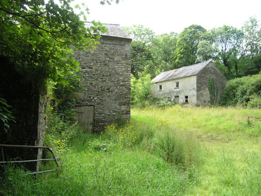 mill (water), miller's housemill (water), miller's house · 1426 yd
 Killymeehan ForestForest · 1474 yd
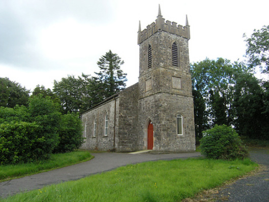 Lavey Church of Ireland Churchchurch/chapel · 1506 yd
 Church (Site of)Church · 1574 yd
 To The Memory of P.J. DukeMemorial · 1.1 mi
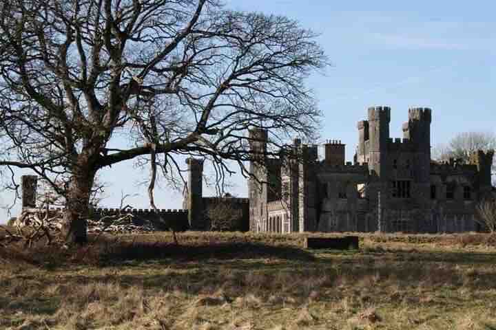 RavenswoodForest · 1.1 mi
 Ancient Order of Hibernians MemorialMemorial · 1.2 mi
 CliffernaMountain / peak · 2.0 mi
 AghadreenaghMountain / peak · 2.3 mi
 Raven's RockNamed rock · 2.8 mi
 Carricknagore RockNamed rock · 5.1 mi