What is recorded here
Lisnafana holds a broad circular fort where two heavy earth banks trap a deep central ditch around a small stone-and-earth hut. That tiny dwelling sits at the heart of much larger defences, suggesting people valued privacy or protection enough to build layers around one room. A shadowy passage may still crawl west from the hut corner, inviting imagination about secrets kept below the grass.
Raised circular area (int. diam. c. 30m) enclosed by two substantial earthen banks with wide, deep, intermediate fosse. An earlier report (OPW 1969) suggested that the original entrance was at E. At the centre of the enclosed area is a small subrectangular area (int. dims. 4m E-W; 2m N-S) enclosed by a low bank of earth and stones which presumably represents a hut site. Extending WNW from the NW corner of the hut site are possible remains of a Man-made underground passage (CV039-062002-).
The above description is derived from the published 'Archaeological Inventory of County Cavan' (Dublin: Stationery Office, 1995). In certain instances the entries have been revised and updated in the light of recent research.
Date of upload/revision: 22 December 2008
The monument record does not grant public access. Check the route and ask the landowner before entering private land.
- What survives
- Recorded monument
Places near here
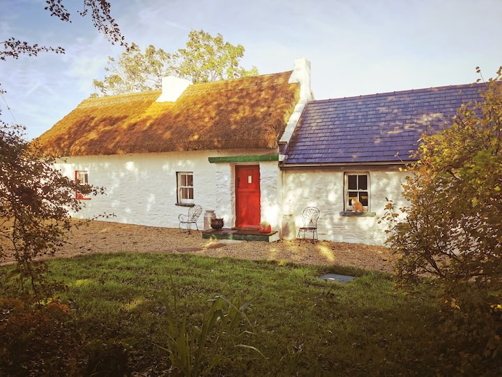 Correagh GlebeMountain / peak · 1024 yd
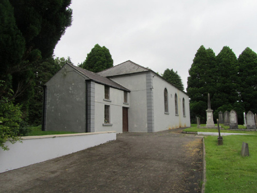 Bellasis Presbyterian Churchchurch/chapel · 1213 yd
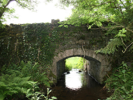 Curraghmore Bridgebridge · 1231 yd
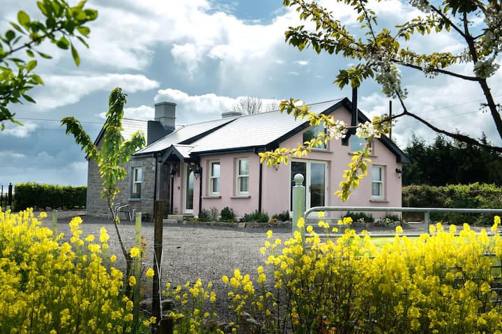 Lisgrea WoodlandWood · 1349 yd
 Aghaloughan Pollamalady ForestWood · 1.0 mi
 AghaloughanMountain / peak · 1.2 mi
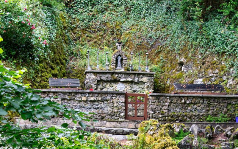 Holy WellHoly well · 1.6 mi
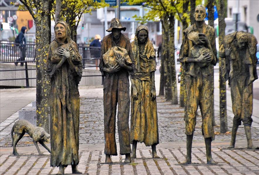 The Great FamineMemorial · 2.3 mi
 Peace BenchMemorial · 2.4 mi
 Carraig-na-SasanacNamed rock · 2.4 mi
 ToberpatrickHoly well · 2.5 mi
 The GPO ExhibitionMuseum · 2.6 mi