What is recorded here
Marianne and Ciaran walked the hidden ring at Lisnaclea, measuring thirty-one metres across and still holding its old bank. They touched moss on the ridge, listened for water in the fosse, and left a white stone at the place where an entrance may have been. The fort had kept a secret long enough to become strange; they returned it to the field with bread crumbs and no photograph.
Raised circular area (int. diam. c. 31m) enclosed by a substantial earthen bank and a fosse. Original entrance not recognisable. An earlier report (OPW 1974) noted a substantial outer earthen bank from NE-S-SW. Original entrance not recognisable. Site overgrown with vegetation.
The above description is derived from the published 'Archaeological Inventory of County Cavan' (Dublin: Stationery Office, 1995). In certain instances the entries have been revised and updated in the light of recent research.
Date of upload/revision: 22 December 2008
The monument record does not grant public access. Check the route and ask the landowner before entering private land.
- What survives
- Recorded monument
Places near here
 Horse-chestnutHorse-chestnut · 686 yd
 Castle ruinsCastle, unclassified · 835 yd
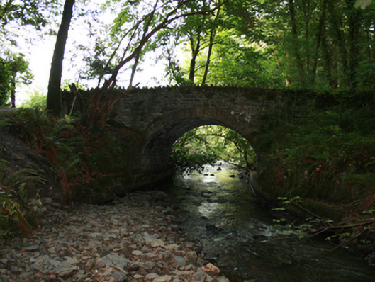 Sarah Bridgebridge · 836 yd
 Ice HouseArchaeological place · 920 yd
 Natural Play AreaMemorial · 969 yd
 In Memory of Our DadMemorial · 970 yd
 Dún a Rí Forest ParkForest · 1145 yd
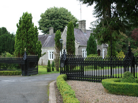 Cabra Castledemesne walls/gates/railings · 1292 yd
 CabraMountain / peak · 1442 yd
 Enclosure in DrummondEnclosure · 1.1 mi
 Drumerlough MoreMountain / peak · 1.6 mi
 Castle in ruinsCastle, unclassified · 2.9 mi