What is recorded here
Fairy forts are no such thing. They are human homes, farms and forts from before written records, misnamed because people stopped remembering they were built at all. The ring at Lismullin is one of them: a circular enclosure about thirty metres across, marked by a single fosse that still shows in the ground and in aerial images. It may have been a dwelling, a boundary, a small defence or a place where several things happened at once. The fairies are not the point. The forgotten humans are.
The cropmark of a circular enclosure (diam. c. 30m) defined by a single fosse feature NE-S-NW is visible on aerial photograph (Conor Newman). It is also visible on Bing (2013). It is also visible on Google Earth (12/07/2013). A second feature nearby (ME032-057002-) cannot be substantiated.
Date of upload: 15 September, 2017
The monument record does not grant public access. Check the route and ask the landowner before entering private land.
- What survives
- Recorded monument
Places near here
 Enclosure in LismullinEnclosure · 891 yd
 EmbankmentEnclosure · 1030 yd
 Sit of Old MonasteryReligious house, Augustinian nuns · 1087 yd
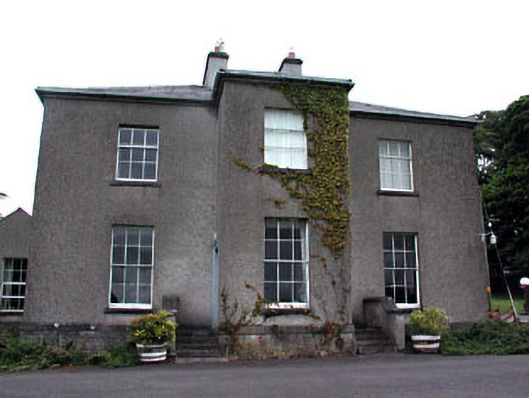 Skryne Rectoryrectory/glebe/vicarage/curate's house · 1.4 mi
 Hill of TaraVisitor information · 1.6 mi
 Tara Open StudioGallery · 1.6 mi
 Saint Patrick'sMemorial · 1.6 mi
 Battle of Tara Hillbattle · 1.9 mi
 Battle of Tara (Ireland)Major battlefield · 1.9 mi
 Skreen CastleCastle, tower house · 1.9 mi
 Site of Old CastleCastle, unclassified · 1.9 mi
 Candle HillMountain / peak · 2.2 mi