What is recorded here
Fairy forts are not fairy forts at all. They are ordinary human ringforts, misnamed because people stopped remembering the humans who built them. Lismacteige is one of them: a circular earthwork about forty metres across, marked on the 1838 map, partly levelled by 1946, and now reduced to a low rise in grassland. The fairies did not invent the fort; human forgetfulness did.
In level grassland. Marked on the 1838 edition of the OS 6-inch map as a circular enclosure (diam. c. 40m); partially levelled by the time of 1946 edition. Apart from a low rise, no visible
surface trace survives. The cartographic evidence suggests that this was a rath.
Compiled by: Galway Archaeological Survey, UCG
Date of upload: 15 April 2019
The monument record does not grant public access. Check the route and ask the landowner before entering private land.
- What survives
- Recorded monument
Places near here
 Fairy fort / earthen ringfort in CappanaghtanFairy fort / earthen ringfort · 700 yd
 Enclosure in AbbeygormacanEnclosure · 903 yd
 AbbeyReligious house, Augustinian canons · 1289 yd
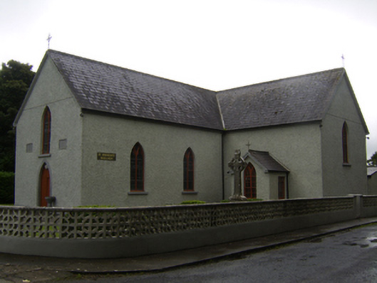 Saint Brendan's Catholic Churchchurch/chapel · 1.2 mi
 CastleCastle, unclassified · 2.1 mi
 Park CastleCastle, hall-house · 3.3 mi
 Dartfield Horse MuseumHeritage attraction · 4.6 mi
 Quarryhill WoodWood · 5.5 mi
 Battle of AughrimMajor battlefield · 5.9 mi
 The bloody HollowHeritage attraction · 5.9 mi
 Bog WoodForest · 6.0 mi
 Battle of Aughrim Interpretative CentreMuseum · 6.3 mi