What is recorded here
Situated on a low rise of reclaimed pasture-land with good views to E & S and moderate views to N & W. Ringfort (WM002-009----) 60m to S. Circular area (diam. 48m) defined by wide low earthen bank (int. H 1m; ext. H 2-2.5m) best preserved at N where if forms part of a modern field boundary and shallow traces of a fosse with external bank visible at NW only. The interior is uneven, rising gently towards the centre from inside the bank. There is a disturbance gap in the bank on the WSW and another on the NW. A gap on the SSE looks as if it is due to disturbance also and there is a modern road leading up to it from the outside. The fosse is almost completely filled up most of the way round.
See attached profile of monument surveyed and drawn by the ASI.
Compiled by: Frank Coyne & Caimin O'Brien
Date of upload: 21 November 2016
The monument record does not grant public access. Check the route and ask the landowner before entering private land.
- What survives
- Recorded monument
Places near here
 Site of Kinard NunneryReligious house nunnery, unclassified · 566 yd
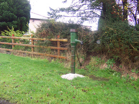 water pumpwater pump · 632 yd
 Float Railway Stationrailway station · 823 yd
 Partially outlinedFairy fort / earthen ringfort · 930 yd
 CastleCastle, motte · 1.1 mi
 Coolamber CastleHouse, fortified house · 1.1 mi
 Granard MotteMotte-and-bailey castle remains · 4.6 mi
 1798 Monumentmonument · 4.6 mi
 Silver FirSilver Fir · 5.6 mi
 CarrickMountain / peak · 5.9 mi
 Watty's RocksIslet · 6.0 mi
 CarrickabaneMountain / peak · 6.2 mi