What is recorded here
Clear fields and a standing stone mark the hill where the fort stands. It is not a hidden fairy fort, although that name still travels ahead of the facts. The measured earth and visible boundary leave little room for invention. What is missing is not the truth, but the desire to decorate it.
In pasture, atop hill. Circular area (37m N-S; 38m E-W) enclosed by low earthen bank (max. H 0.7m); external fosse (max. D 0.9m).
The above description is derived from the published 'Archaeological Inventory of County Cork. Volume 1: West Cork' (Dublin: Stationery Office, 1992). In certain instances the entries have been revised and updated in the light of recent research.
Date of upload/revision: 14 January 2009
The monument record does not grant public access. Check the route and ask the landowner before entering private land.
- What survives
- Recorded monument
Places near here
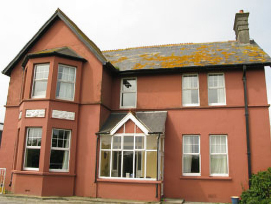 Lislevane Househouse · 583 yd
 CaveMan-made underground passage · 810 yd
 Kill Bur. Gd. (Children) (Disused)Burial ground · 957 yd
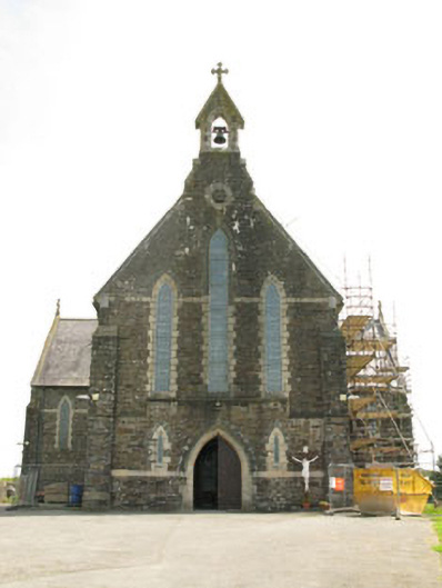 St Mary's Roman Catholic Churchchurch/chapel · 1393 yd
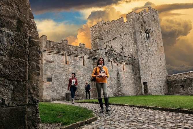 Rock Castle (in Ruins)Castle, tower house · 1430 yd
 Castle (in Ruins)Castle, unclassified · 1.5 mi
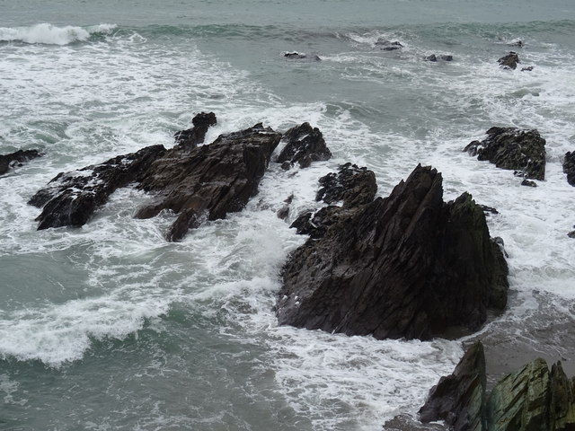 Dunworly BeachBeach / strand · 1.7 mi
 Cave DunworleyViewpoint · 1.7 mi
 War MemorialMemorial · 1.8 mi
 Timoleague ViewViewpoint · 1.9 mi
 Rail SignalHeritage attraction · 2.5 mi
 Dunworly PointHeadland · 2.5 mi