What is recorded here
Fairy forts in Lislea, Cavan, hold human memories rather than fairy tricks. A ringfort marked on old maps has vanished under soil and ploughs, leaving only a slight curve in a field boundary to hint at its shape. People may have lived there, tended fires, and forgotten the name of the fort before the land itself erased it.
Marked 'Fort' on OS 1836 and 1876 eds. Situated on the S shoulder of a low drumlin hill. All that survives to indicate the presence of the site is a curve in the field boundary from ENE-E-SSE. Otherwise nothing visible at ground level.
The above description is derived from the published 'Archaeological Inventory of County Cavan' (Dublin: Stationery Office, 1995). In certain instances the entries have been revised and updated in the light of recent research.
Date of upload/revision: 22 December 2008
The monument record does not grant public access. Check the route and ask the landowner before entering private land.
- What survives
- Recorded monument
Places near here
 IndicatedFairy fort / earthen ringfort · 223 yd
 Ballaghanea Portal TombArchaeological place · 1346 yd
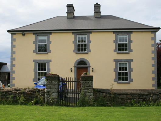 Pollintemple Housefarm house · 1412 yd
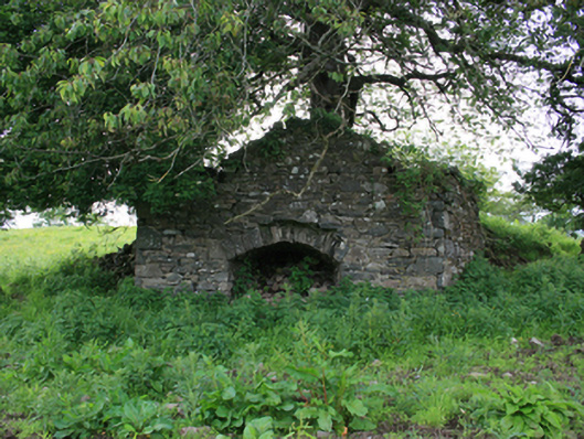 kilnkiln · 1520 yd
 Georges IslandsIslet · 1588 yd
 Ballaghanea Island SouthIslet · 1.1 mi
 RahardrumCastle, unclassified · 1.2 mi
 Sessile OakSessile Oak · 1.5 mi
 Rahardrum Sand BankWood · 1.6 mi
 Ramor Aontaithe C.L.G. Dolan ParkMemorial · 1.6 mi
 Cloghbally LowerMountain / peak · 1.9 mi
 CornasheskMountain / peak · 1.9 mi