What is recorded here
Fairy forts are human ringforts misnamed through folklore, though Lislannan keeps that misleading label. The earth bank stands one and a half to nearly two metres high around a grassy circle nearly thirty-eight metres across, with a shallow outer ditch preserved on its north-west side. A forgotten farm track still cuts across the eastern edge, suggesting the fort was absorbed into ordinary agriculture rather than abandoned untouched. Its entrance has disappeared beneath grass and memory, leaving the circle complete but closed to certainty.
Situated on a low-lying landscape. This is a circular grass-covered area (diam. 38m N-S; 35.5m E-W) defined by an earthen bank (Wth c. 3m; int. H c. 0.6m at S to 0.9m; ext. H 1.5-1.8m), with an outer fosse (Wth c. 2.1m) NNW-E and a relict farm track E-S. The original entrance is not identified.
The above description is derived from the published 'Archaeological Inventory of County Monaghan' (Dublin: Stationery Office, 1986). In certain instances the entries have been revised and updated in the light of recent research.
Date of revision: 26 January 2018
The monument record does not grant public access. Check the route and ask the landowner before entering private land.
- What survives
- Recorded monument
Places near here
 IndicatedCrannog · 941 yd
 IslandhillArchaeological place · 987 yd
 Jaundice WellSpring · 1509 yd
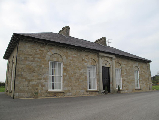 Loughoony Househouse · 1694 yd
 bridgebridge · 1739 yd
 Roosky Castle (Site of)Castle, ringwork · 2.7 mi
 KillycoonaghWood · 2.7 mi
 Saint John's WellSpring · 2.8 mi
 Common LimeCommon Lime · 2.9 mi
 Lisarrilly HillMountain / peak · 3.1 mi
 Abbey RuinsHeritage attraction · 3.9 mi
 The Cassandra Hand CentreMuseum · 3.9 mi