What is recorded here
A narrow causeway and a wide circular ditch mark the edge of a forgotten home. The earth bank still stands tall on the up-slope side, while dense growth hides the rest beneath the hill. People may have entered through the eastern gap, carried belongings across the grass, and watched the valley through the opening. The fort has lost its walls and name, but its shape still points back to the life that turned it into a home.
In pasture, on NE-facing hillside; up-slope planted with coniferous woodland which encroaches on verge of site SSE->NNW. Circular area (diam. c. 35m) enclosed by earthen bank (int. H 1.9m; ext. H 3.55m) with external fosse (D 1.65m; Wth 1.95m). Enclosing element, which is covered by dense overgrowth, has steeper profile on up-slope (SW) side. Causeway entrance (Wth 4.9m) at ENE. Adjacent field boundaries have been removed but part of stone wall abutting fosse at SE may be remnant.
Compiled by: Denis Power
Date of upload: 26 August 2011
The monument record does not grant public access. Check the route and ask the landowner before entering private land.
- What survives
- Recorded monument
Places near here
 Burial Gd. for ChildrenChildren's burial ground · 1039 yd
 Lissyfine - Hachured (1924).Fairy fort / stone ringfort · 1071 yd
 Abbey (in ruins) (1924).Religious house, unclassified · 1636 yd
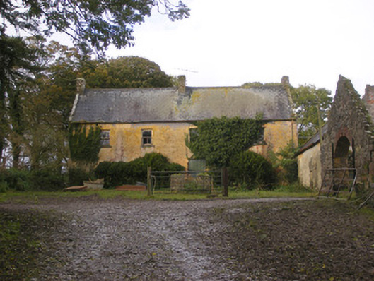 Dollas Housefarm house · 1709 yd
 Castle (in ruins)Castle, unclassified · 1.2 mi
 Kilmacow Ho.Bawn · 1.6 mi
 KnockfeerinaMountain / peak · 2.0 mi
 Kinnoor WellSpring · 2.3 mi
 Famine stoneMemorial · 2.6 mi
 Dysert AenghusaHeritage attraction · 3.1 mi
 European ashEuropean ash · 3.3 mi
 Biodiversity in the Maigue CatchmentVisitor information · 3.5 mi