What is recorded here
That is a fairy fort in Lisirril, Monaghan, meaning it is a small old ring of earth on a ridge where people once lived or kept animals. The round bank is still there, about as wide as a large house, with one entrance more likely to be old and another perhaps made later. It is not a distant museum piece; it is a neighbour marker, showing that this land has carried human life for a long time.
Situated at the crest of the N-facing slope of a short NW-SE drumlin ridge with rock outcrop visible. This is a circular grass-covered area (diam. c. 29m N-S; 27.4m WNW-ESE) defined by an earthen bank (Wth 2-3.6m; int. H 0.3-0.5m; ext. H 0.5-0.9m) with some bushes. There is no visible fosse, but there are entrances at WSW (Wth 1.8m), which appears to be modern, and at SSE (Wth 1.9m), which is more likely to be original. The outer face of a the bank is clipped by a WNW-ESE field bank at S.
The above description is derived from the published 'Archaeological Inventory of County Monaghan' (Dublin: Stationery Office, 1986). In certain instances the entries have been revised and updated in the light of recent research.
Revised by: Michael Moore
Date of revision: 30 January 2018
The monument record does not grant public access. Check the route and ask the landowner before entering private land.
- What survives
- Recorded monument
Places near here
 Trein Mors GraveMegalithic tomb · 1053 yd
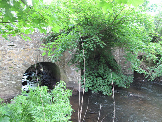 bridgebridge · 1097 yd
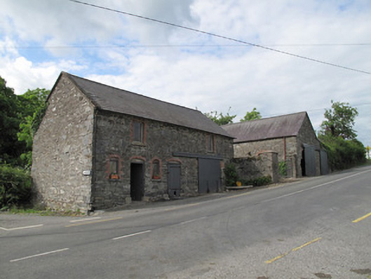 outbuildingoutbuilding · 1136 yd
 Man-made underground passage in OuvryMan-made underground passage · 1589 yd
 Tally WoodWood · 2.0 mi
 CarrickcreenyMountain / peak · 2.2 mi
 Sillan LakeshoreWood · 2.6 mi
 Gull IslandIslet · 2.6 mi
 Bush IslandIslet · 2.7 mi
 Bawn in LisdrumskeaBawn · 2.8 mi
 Senator Billy Fox 1939 - 1974Memorial · 2.9 mi
 RaferaghMountain / peak · 3.4 mi