What is recorded here
Fairy fort in Lisheen, County Limerick: an earthen ringfort, circular 19m by 18m, with a scarped edge 6.7m wide and 1.2m high, set on a NW-facing pasture slope looking SE-NE. Its shallow outer ditch and possible bank have been grazed, ploughed or levelled until they barely show, while the main rampart still stands slightly higher on the NW side to balance the hill. People may have lived there, marked it as a boundary, or left it for the fairies because it refused to be fully understood.
In pasture, on a NW-facing slope with views to SE-NE. Circular area (19m N-S; 18m E-W) defined by scarped edge (Wth 6.7m; H 1.2m) with barely perceptible external fosse (Wth 10.2m; D 0.05m) and possible outer bank (Wth 6.8m; int. H 0.05m; ext. H 0.35m) NW-SE and WSW-W. Outer bank possibly levelled into fosse around E-arc. Monument raised slightly on NW-side to compensate for hill-slope. Field boundary depicted on current edition OS 6-inch map truncating SE-sector of monument has been removed. Monument has been incorporated into pasture field.
Compiled by: Denis Power
Date of upload: 6 December 2013
This remains an important historical record, but the official description says the monument is no longer visible or has been destroyed. The monument record does not grant public access. Check the route and ask the landowner before entering private land.
- What survives
- No visible remains or recorded as destroyed
Places near here
 Enclosure in LisheenEnclosure · 453 yd
 Enclosure in Garrane MoreEnclosure · 540 yd
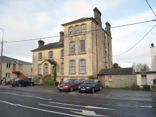 Pallas Grean Constabulary BarrackRIC barracks · 1034 yd
 E. O'Dwyerhouse · 1082 yd
 (Site of) Nicker CastleCastle, unclassified · 1191 yd
 KnockseefinMountain / peak · 1470 yd
 Kilduff Castle (in ruins)Castle, tower house · 1709 yd
 ToberagaddySpring · 1.1 mi
 St. Patrick's WellSpring · 3.7 mi
 Kilteely HillMountain / peak · 4.1 mi
 Graveyard in AbingtonGraveyard · 5.2 mi
 Flat cemetery in Knockainy WestFlat cemetery · 8.1 mi