What is recorded here
Fairy fort in Lisgoold East, County Cork, a circular earthen ring about thirty metres across, marked on the 1842 map but mostly levelled now, its shallow bank hidden inside a field fence. It may have been a modest home or marker on a sloping pasture, perhaps tied to the nearby ringfort, while local thought may have turned it into a fairy fort because such rounded places often sound like dwelling for unseen neighbours.
In pasture, on NE-facing slope. Shown on 1842 OS 6-inch map as hachured circulr enclosure (diam. c. 30m); as curve in N-S field fence on later eds OS 6-inch map. Levelled; eroded bank (int. H c. 0.8m) retained in field fence. No other surface trace. Possible ringfort (CO065-010---) c. 120m to NNW.
The above description is derived from the published 'Archaeological Inventory of County Cork. Volume 2: East and South Cork' (Dublin: Stationery Office, 1994). In certain instances the entries have been revised and updated in the light of recent research.
Date of upload/revision: 14 January 2009
The monument record does not grant public access. Check the route and ask the landowner before entering private land.
- What survives
- Recorded monument
Places near here
 IndicatedFairy fort / earthen ringfort · 373 yd
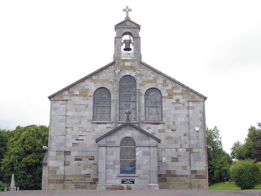 Saint John The Baptist Roman Catholic Churchchurch/chapel · 917 yd
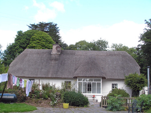 Cul an Tihouse · 930 yd
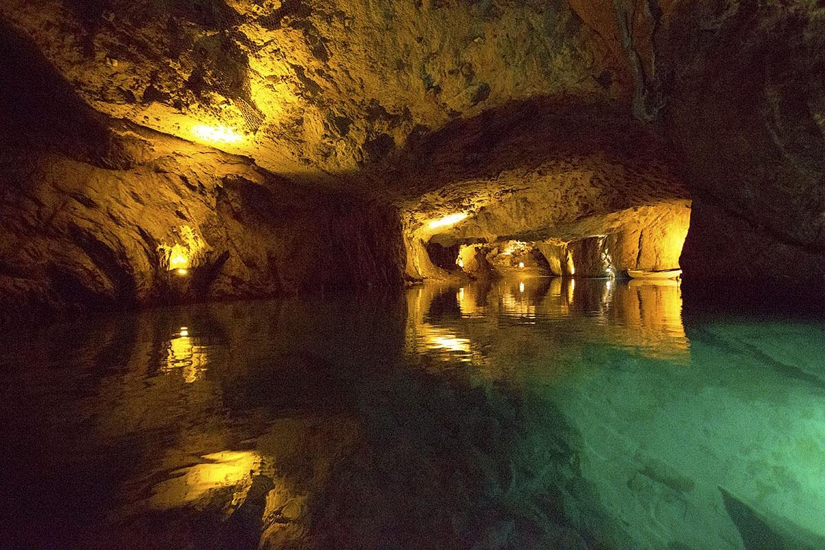 Man-made underground passageMan-made underground passage · 1160 yd
 Curragh WoodsWood · 1.6 mi
 Leamlara Castle (in Ruins)Castle, tower house · 1.8 mi
 Graveyard in Broomfield WestGraveyard · 2.9 mi
 Moanbaun ForestForest · 3.8 mi
 Nellie Cashman MonumentMemorial · 3.9 mi
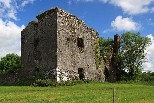 Cahermone Castle (in Ruins)Castle, tower house · 4.3 mi
 Barryscourt CastleCastle · 4.4 mi
 Noel Collins BridgeVisitor information · 4.6 mi