What is recorded here
Magic is not dead, only displaced. The fort is gone because the land took it back. What you see is the shape of forgetting. What you cannot see is the life that refused to die.
In tillage, on N-facing slope. Shown on 1842 OS 6-inch map as circular enclosure (diam. c. 25m). Levelled; no visible surface trace. Possible ringfort (CO065-011---) c. 120m to SSE.
The above description is derived from the published 'Archaeological Inventory of County Cork. Volume 2: East and South Cork' (Dublin: Stationery Office, 1994). In certain instances the entries have been revised and updated in the light of recent research.
Date of upload/revision: 14 January 2009
The monument record does not grant public access. Check the route and ask the landowner before entering private land.
- What survives
- Recorded monument
Places near here
 IndicatedFairy fort / earthen ringfort · 389 yd
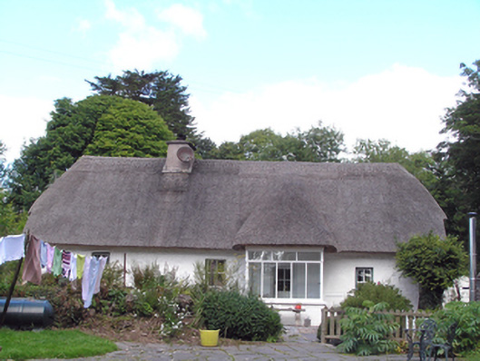 Cul an Tihouse · 781 yd
 Church in Lisgoold EastChurch · 832 yd
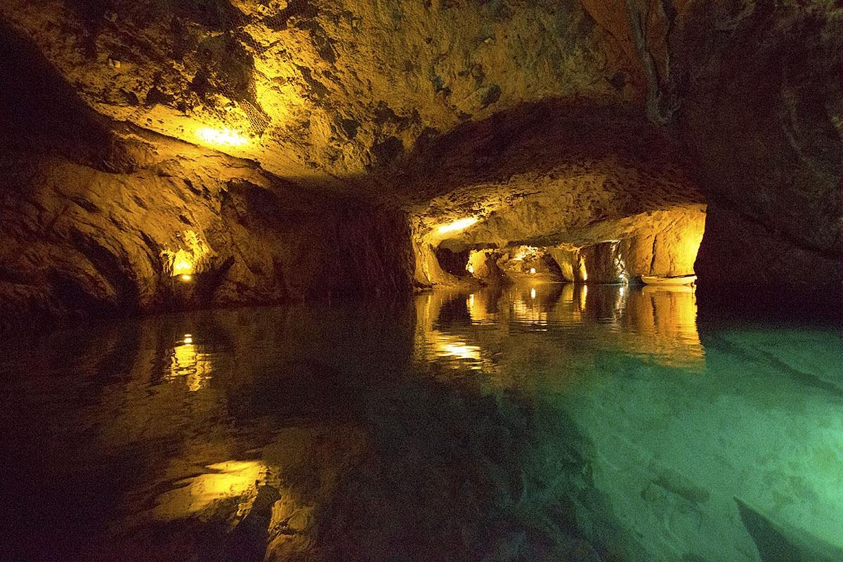 Man-made underground passageMan-made underground passage · 1322 yd
 Curragh WoodsWood · 1.6 mi
 Leamlara Castle (in Ruins)Castle, tower house · 1.8 mi
 Graveyard in Broomfield WestGraveyard · 3.0 mi
 Moanbaun ForestForest · 3.7 mi
 Nellie Cashman MonumentMemorial · 4.0 mi
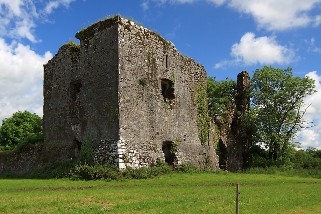 Cahermone Castle (in Ruins)Castle, tower house · 4.4 mi
 Barryscourt CastleCastle · 4.5 mi
 Noel Collins BridgeVisitor information · 4.7 mi