What is recorded here
Fairy forts are not fairy forts at all. They are human ringforts, misnamed because people stopped remembering the humans who built them. In Lisgannon, a large oval bank and waterlogged ditch once rose above the field, perhaps with an entrance at the southeast. That shape has been levelled, but the misname still preserves the truth: human places become magical only after memory leaves them.
An earlier description (OPW 1968) described a raised oval area (int. dims. c. 47m NNW-SSE; c. 40m ENE-WSW) enclosed by a substantial earthen bank and a wide, deep, partly waterlogged fosse. Original entrance may have been at SE. Site has been levelled.
The above description is derived from the published 'Archaeological Inventory of County Cavan' (Dublin: Stationery Office, 1995). In certain instances the entries have been revised and updated in the light of recent research.
Date of upload/revision: 22 December 2008
The monument record does not grant public access. Check the route and ask the landowner before entering private land.
- What survives
- Recorded monument
Places near here
 Cordevlis FortFairy fort / earthen ringfort · 442 yd
 Tullycoe FortArchaeological place · 1148 yd
 Giant's GraveArchaeological place · 1357 yd
 Rookery WoodForest · 1.4 mi
 Church of the Immaculate Conceptionchurch/chapel · 1.4 mi
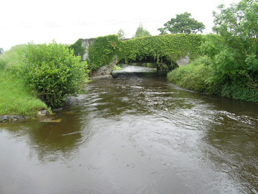 Curravogy Bridgebridge · 1.5 mi
 Paul's WoodForest · 1.7 mi
 Foundation Stone Blessed by Pope John Paul II 1979Memorial · 2.4 mi
 DernaskeaghMountain / peak · 2.5 mi
 CastleCastle, unclassified · 2.6 mi
 Site of Old CastleCastle, unclassified · 2.8 mi
 CorickMountain / peak · 3.4 mi