What is recorded here
Quarry wheels consumed the fort in 1972, but Twohig's spades caught its shadow first. Beneath the vanished bank lay palisade sockets, circular houses, hearths, and a crucible fragment that smells of human fire rather than fairy trickery. The fort stood close enough to its neighbour for their ditches nearly to touch, a crowded ridge above the Awbeg where ordinary people lived, worked, and disappeared into the inventory of lost places.
In tillage, on S-facing slope, overlooking Awbeg River. Depicted as hachured circular enclosure (diam. c. 50m) on 1842 OS 6-inch map, immediately to NNE of second ringfort (CO023-15901-). Levelled; no visible surface trace of site. Excavated (as Ringfort 1) by Dermot C. Twohig in 1972 (Twohig 1990, 1-32), along with two other ringforts (CO023-15701-; CO023-15901-), due to impending quarry development. At time of excavation a short segment of bank remained to N, incorporated into field fence system, and short segments of backfilled fosse visible as shallow depressions. Excavation showed site to be univallate ringfort, elliptical in plan (max. diam. 60m NE-SW; min. diam. 45m NW-SE); fosse of ringfort 1 and 2 (CO023-15901-) separated by only c. 2m of ground. Section through N bank (H 1.5m) revealed U-shaped fosse (D 1.2m); palisade trench, containing stone-packed sockets of palisade posts, found beneath collapsed outer face of bank. Evidence for habitation, from SW quadrant, consisted of two circular houses (diam. 6m), one rectangular house (7m x 5.5m) and three hearth sites. Finds included a bronze buckle, iron knives, spindle-whorl fragments, whetstones, upper stone of rotary quern, a crucible fragment, sherds of E-ware pottery and both human and animal bone remains.
The above description is derived from the published 'Archaeological Inventory of County Cork. Volume 4: North Cork' (Dublin: Stationery Office, 2000). In certain instances the entries have been revised and updated in the light of recent research.
Date of upload/revision: 14 January 2009
The monument record does not grant public access. Check the route and ask the landowner before entering private land.
- What survives
- Recorded monument
Places near here
 Linkardstown burial in Lisduggan NorthLinkardstown burial · 314 yd
 LisdugganFairy fort / earthen ringfort · 692 yd
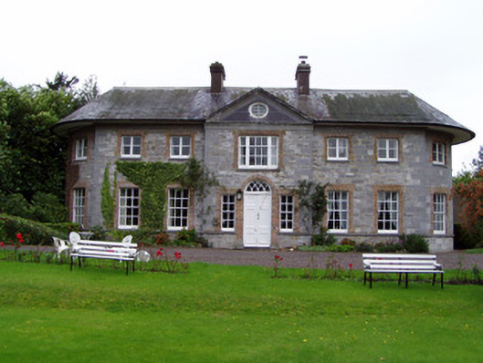 Assolas Housecountry house · 851 yd
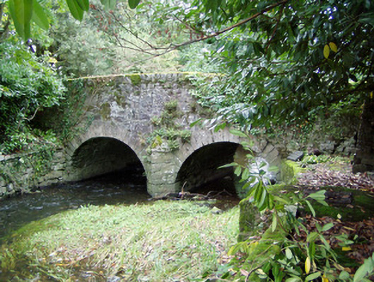 Assolas Bridgebridge · 879 yd
 European YewEuropean Yew · 906 yd
 Burial ground in AssolasBurial ground · 1238 yd
 Ballyheen Castle (Site of)Castle, unclassified · 1287 yd
 CastleCastle, unclassified · 1580 yd
 Graveyard in Ballygiblin (duhallow By.)Graveyard · 1.4 mi
 Kanturk CastleHeritage attraction · 3.2 mi
 St Fursey's WellSpring · 3.3 mi
 Hanna SheehyMemorial · 3.3 mi