What is recorded here
Lisdrumfad holds a substantial earthen ringfort with a thirty-three-metre diameter, a southern causeway entrance and a small rectangular house site tucked against the inner bank. The earth still shapes the boundary where people once lived, worked and perhaps kept secrets from the open field. The fairies may have taken the name, but the soil remembers human hands, human breath and the ordinary danger of staying visible in a changing landscape.
Raised circular area (int. diam. c. 33m) enclosed by a substantial earthen bank and traces of a fosse. Break in bank with remains of accompanying causeway at S probably represents original entrance. Adjoining the inside of the bank at SE is a rectangular house site represented by a slight bank (int. dims. 4.8m NE-SW; 3.3m NW-SE). Entrance to house site at SW corner indicated by break in bank. A possible Man-made underground passage also lies within the internal area (CV023-034002-).
The above description is derived from the published 'Archaeological Inventory of County Cavan' (Dublin: Stationery Office, 1995). In certain instances the entries have been revised and updated in the light of recent research.
Date of upload/revision: 22 December 2008
The monument record does not grant public access. Check the route and ask the landowner before entering private land.
- What survives
- Recorded monument
Places near here
 Fairy fort / earthen ringfort in CargaghogeFairy fort / earthen ringfort · 438 yd
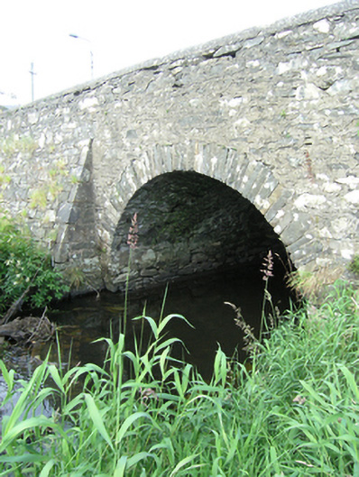 bridgebridge · 903 yd
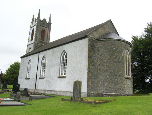 Killan Church of Ireland Churchchurch/chapel · 1021 yd
 Sillan LakeshoreWood · 1182 yd
 Bawn in LisdrumskeaBawn · 1200 yd
 Lisnageer FortFairy fort / earthen ringfort · 1429 yd
 Bush IslandIslet · 1480 yd
 Gull IslandIslet · 1.0 mi
 CarrickcreenyMountain / peak · 1.2 mi
 RaferaghMountain / peak · 1.7 mi
 NorthlandsWood · 2.9 mi
 Senator Billy Fox 1939 - 1974Memorial · 3.4 mi