What is recorded here
No visible gap remains in the earth and stone bank, yet the fort still stands thirty-seven metres wide on a gentle slope. Humans may have built the rampart for protection or pride, while fairies took the hidden door and never left. The laneway now cuts through the middle, dividing the ancient chamber into ordinary farm portions.
On a gentle NE-facing slope. A raised circular area (diam. c. 37m) enclosed by a substantial bank of earth and stone (Wth 5m; H 0.6m) with a wide, deep, external fosse (Wth 2m; D 1-1.15m), which has been deepened and incorporated into the field-drainage system. The original entrance is not recognisable. The interior is divided into roughly equal portions by a modern NE-SW laneway.
Compiled by: Patrick F. O'Donovan
Date of upload: 26 August 2011
The monument record does not grant public access. Check the route and ask the landowner before entering private land.
- What survives
- Recorded monument
Places near here
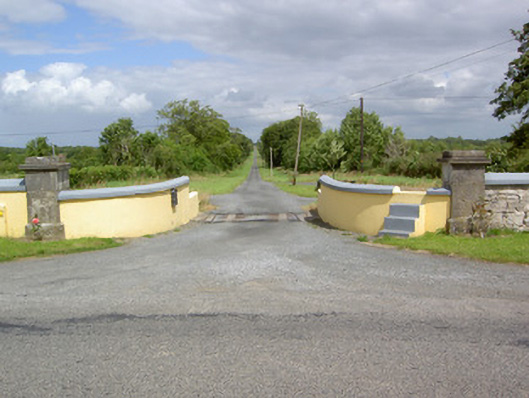 Sleehaun Housegates/railings/walls · 548 yd
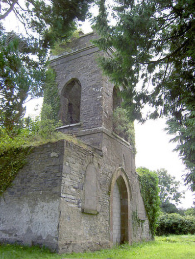 Saint Anne's Church (Kilglass)church/chapel · 917 yd
 IndicatedEnclosure · 1744 yd
 Enclosure in Cross (ardagh By.)Enclosure · 1.3 mi
 Pedunculate OakPedunculate Oak · 1.7 mi
 Fort, MoataphucaCastle, motte · 1.9 mi
 CastleCastle, motte · 1.9 mi
 Common AlderCommon Alder · 2.2 mi
 Edgeworthstown BypassMemorial · 3.9 mi
 Abbeyshrule AbbeyRuins · 4.3 mi
 National Famine WayWalking route · 4.6 mi
 Graveyard in Curry (ardagh By., Coolamber Ed)Graveyard · 7.6 mi