What is recorded here
Situated on a slight rise, in relatively low-lying wet pasture which is overlooked by higher ground to NE and a high ridge to SW. Monument described in 1971 and 1976 as a small suboval-shaped area (dims. 39m NE-SW; 30m NW-SE) defined by a very low, yet sharp scarp (H 0.4m), which is straight from W-N. There is no visible trace of an external fosse and the original entrance is not recognisable. The interior rises gently from the perimeter toward the centre and has vague traces of cultivation ridges running NE-SW.
See attached profile of monument surveyed and drawn by ASI.
Compiled by Alison McQueen, Vera Rahilly and Caimin O’Brien.
Date of upload: 17 July 2019
This remains an important historical record, but the official description says the monument is no longer visible or has been destroyed. The monument record does not grant public access. Check the route and ask the landowner before entering private land.
- What survives
- No visible remains or recorded as destroyed
Places near here
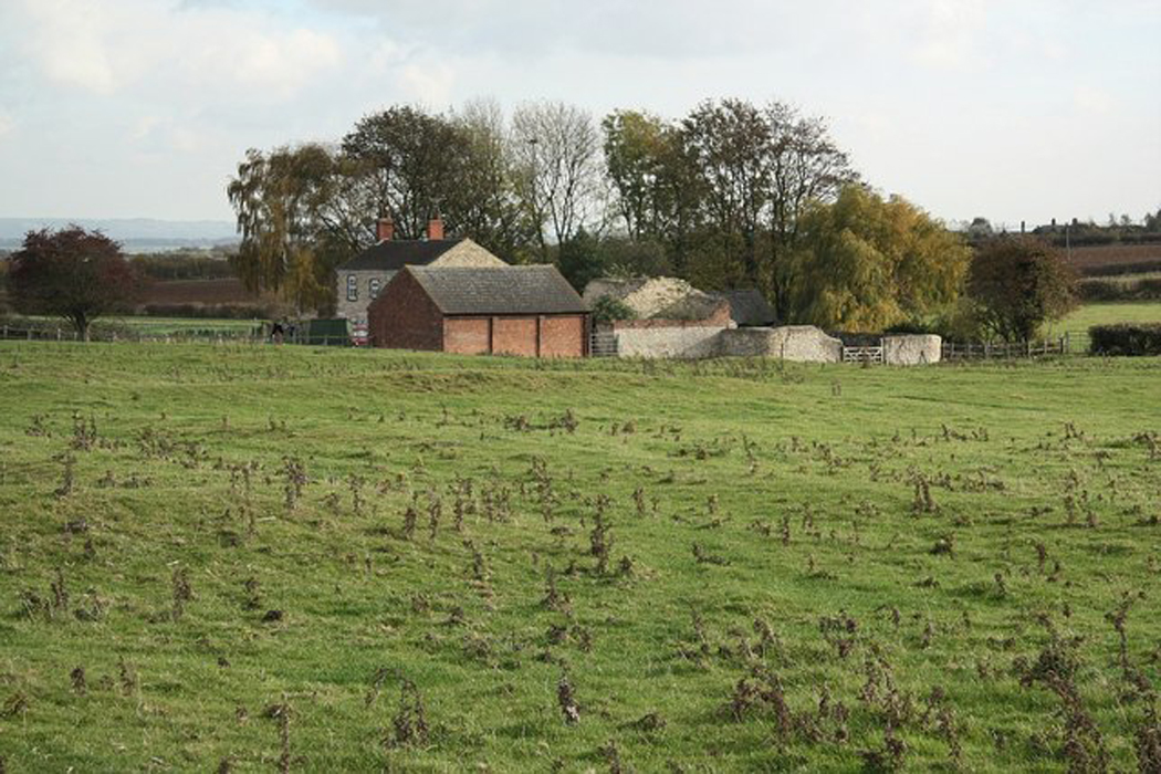 Settlement desertedSettlement deserted, medieval · 609 yd
 Partially hachuredFairy fort / ringfort · 734 yd
 CastleCastle, motte and bailey · 942 yd
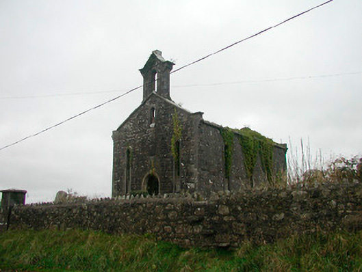 Saint Canice's Church (Kilkenny West)church/chapel · 1.2 mi
 Church in Kilkenny AbbeyChurch · 1.2 mi
 Kilkenny CastleCastle · 1.2 mi
 Noughaval CemeteryArchaeological place · 1.6 mi
 European BeechEuropean Beech · 3.0 mi
 Killinure BayBay · 4.6 mi
 Temple's IslandIslet · 4.9 mi
 Leveret IslandIslet · 4.9 mi
 Traveen BayBay · 5.1 mi