What is recorded here
Located at the S end and on the steep E-facing slope of a slight N-S ridge. Depicted faintly as a fragment of an embanked enclosure with a bank E-SW and described as a ‘fort’ on the 1834 edition of the OS 6-inch map, and as a curve in the field bank on the 1907 edition. The perimeter of what was probably a rath is incorporated into a field bank (H 1m) and hedge SE-SW with field spoil (Chord c. 30m).
The above description is derived from the published 'Archaeological Inventory of County Monaghan' (Dublin: Stationery Office, 1986). In certain instances the entries have been revised and updated in the light of recent research.
Date of revision: 27 June 2017
The monument record does not grant public access. Check the route and ask the landowner before entering private land.
- What survives
- Recorded monument
Places near here
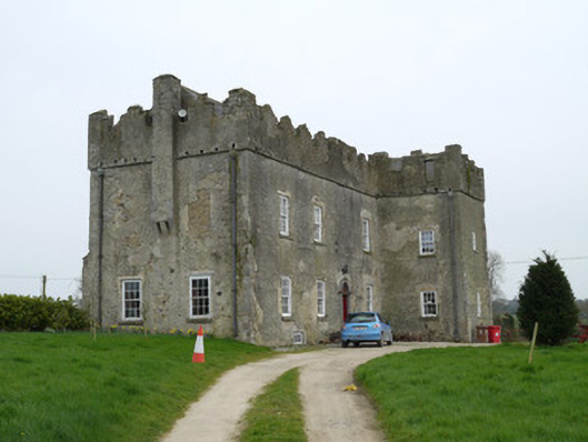 Maghernacloy Castlecastle/fortified house · 869 yd
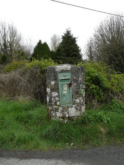 post boxpost box · 902 yd
 Tree IslandWood · 1650 yd
 Crannog in DrumboCrannog · 1.1 mi
 IndicatedCrannog · 1.2 mi
 Lagan castleCastle, tower house · 1.7 mi
 BarleyhillMountain / peak · 2.1 mi
 The MountCastle, motte and bailey · 2.3 mi
 Flat cemetery in AnnaheanFlat cemetery · 2.3 mi
 Natural Play AreaMemorial · 3.4 mi
 Monkey-puzzleMonkey-puzzle · 3.5 mi
 CabraMountain / peak · 3.5 mi