What is recorded here
Fairy forts are often called raths, yet people still call them the homes of tiny, angry beings. In Liscahane, a quarter-acre fort stood on Thomas Barrett's land until ploughs levelled it in 1885. Only a low south-eastern scarp remains beside a laneway, marking the place where human hands erased what fairy belief had helped preserve.
In pasture, on E-facing slope. According to Broker (1937, 49), on Thomas Barrett's land 'fort 1/4 acre; levelled in 1885'. Only SE quadrant survives, defined by scarp (H 0.7m) E->S; N-S laneway to W and field fence to N, with trees planted beyond.
The above description is derived from the published 'Archaeological Inventory of County Cork. Volume 3: Mid Cork' (Dublin: Stationery Office, 1997). In certain instances the entries have been revised and updated in the light of recent research.
Date of upload/revision: 14 January 2009
A fairy fort / earthen ringfort in Liscahane, likely dating to the early medieval period, was partially levelled in 1885, leaving only the SE quadrant with a 0.7m scarp. Local tradition and historical references associate it with fairy lore, as suggested by its name and the protective or supernatural connotations often linked to such sites in Irish folklore.
The monument record does not grant public access. Check the route and ask the landowner before entering private land.
- What survives
- Recorded monument
Places near here
 Burnt mound in Tullig (muskerry West By.)Burnt mound · 479 yd
 Fulacht fia in LiscahaneFulacht fia · 638 yd
 Willow Brookcountry house · 1365 yd
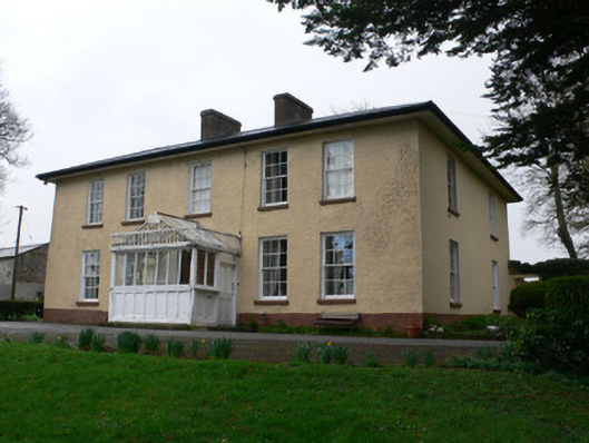 Tullig Househouse · 1412 yd
 RowanRowan · 1.3 mi
 Kilmeedy CastleCastle, tower house · 1.5 mi
 Millstreet Tourist InformationVisitor information · 1.6 mi
 St. Patrick's ChurchVisitor information · 1.6 mi
 Millstreet Museum & Tourist Information CentreMuseum · 1.6 mi
 Castle and TurretCastle, tower house · 2.3 mi
 Claragh MountainMountain / peak · 2.4 mi
 Blackwater (Duhallow) WayWalking route · 2.7 mi