What is recorded here
Thirty paces across on a low ridge in Lisboy, the fort still holds its shape: a grass circle bounded by earthen bank, ditch, and outer bank, with trees caught in the rim. It is the kind of place people once walked past without thinking, yet its boundaries are clear enough to touch. Maybe it was a home, a boundary marker, or a warning not to build there. The earth remembers the shape even when the names have faded.
Located on a fairly low NE-SW ridge. This is a circular grass-covered area (diam. 46m NE-SW; 43.5m NW-SE) defined by an earthen bank (at ENE (Wth of base 3m; int. H 0.3m; ext. H 1.3m) or scarp (at WNW: H 1.7m) with some trees that is separated by a fosse (at ENE: Wth of top 5m; int. H 1.3m; ext. H 1.3m) from an outer bank (Wth of base 5m; ext. H 016m), both of which only survive W-NE where it runs into the outer bank of The rath (ME006-050002-) immediately to the NE. The perimeter is barely traceable E-S, and there is no identifiable original entrance which may have been in this quadrant.
The above description is derived from the published 'Archaeological Inventory of County Meath' (Dublin: Stationery Office, 1987). In certain instances the entries have been revised and updated in the light of recent research.
Revised by: Michael Moore
Date of revision: 26 October 2018
Amended: 15 December 2022
The monument record does not grant public access. Check the route and ask the landowner before entering private land.
- What survives
- Recorded monument
Places near here
 Enclosure in Footstown GreatEnclosure · 1300 yd
 Enclosure in BigstownEnclosure · 1.1 mi
 Site of Old CastleCastle, unclassified · 1.4 mi
 Gun HillMountain / peak · 1.6 mi
 Site of Siddan castleCastle, unclassified · 1.6 mi
 Smarmore Castlecountry house · 1.6 mi
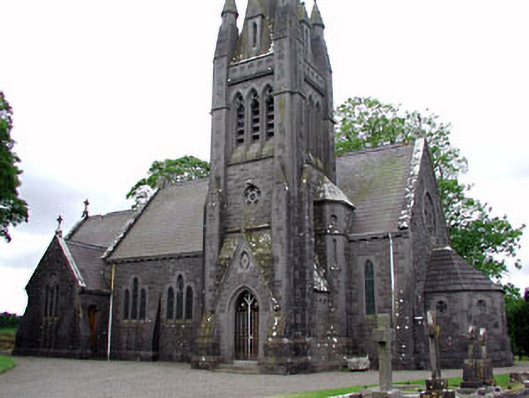 Saint David's Church (Siddan)church/chapel · 1.6 mi
 Valley WoodWood · 1.8 mi
 Screedoge HillMountain / peak · 1.8 mi
 Fox CovertForest · 3.6 mi
 Sir Frederick Foster MemorialMemorial · 4.4 mi
 Graveyard in StickillinGraveyard · 5.3 mi