What is recorded here
Thirty-four metres of marshy hollow hold two concentric earth banks, a rare double-ringed fortress where most local forts show only one. The outer bank still stands one and a half metres high on its best side, but water has swallowed the space between them until only briars and damp grass remain. People may have fought, hidden or worshipped there before the land sank into pasture, yet the earth keeps its shape while memory disappears.
In low-lying marshy pasture, in natural hollow. Circular area (diam. 34m) enclosed by two concentric earthen banks set relatively far apart (distance from bank to bank: 17m). Inner bank (int. H 1.1m; ext. H 1.3m), heavily masked by overgrowth, is best preserved SW->NNW. Outer bank (int. H 1.4m; ext. H 0.8m) best preserved SSW->NNE, but lowers NNW->NNE and is levelled ENE->ESE. Outer bank has flat top (Wth 1.3m) on which boulders have been dumped at W and N; gaps in bank at SSE (Wth 11.5m) and SSW (Wth 5.2m). Area between banks is flat and waterlogged though marginally drier along SW arc. Level interior is covered with briars except for small clearing near centre.
Compiled by: Denis Power
Date of upload: 26 August 2011
The monument record does not grant public access. Check the route and ask the landowner before entering private land.
- What survives
- Recorded monument
Places near here
 IndicatedFairy fort / earthen ringfort · 780 yd
 Rathfarra - HachuredFairy fort / earthen ringfort · 801 yd
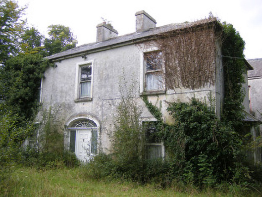 Ballysteen Housecountry house · 804 yd
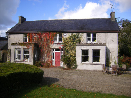 Kilcosgrave Househouse · 902 yd
 Site of CastleCastle, unclassified · 920 yd
 CastleCastle, unclassified · 1397 yd
 St. Luke's WellSpring · 2.9 mi
 St. Kieran's WellSpring · 3.6 mi
 Foynes Flying Boat & Maritime MuseumMuseum · 4.6 mi
 Foynes Island ViewpointViewpoint · 4.8 mi
 Gammarel PointHeadland · 4.9 mi
 Askeaton CastleHeritage attraction · 5.1 mi