What is recorded here
Fairy fort / earthen ringfort in Lisbabe is a 36-metre circular earthwork in County Kerry, Ireland, with two banks, a fosse and an east-south-east causeway entrance. Cattle still move through the pasture above it, while a farm track cuts across the middle and a field boundary sits on the outer rim. The broken west-north-west gap and shallow entrance suggest people used the ring for centuries before it became a local name for fairy work.
In pasture, on a SE-facing slope. A circular area (36m SW-NE; 34m NW-SE) defined by two earthen banks and an intervening fosse. The inner bank (Wth 5.75m; int. H 0.65m; ext. H 1.8m) is stone-faced internally along the N arc. The fosse (Wth 3.6m) is visible but is shallow on either side of the entrance. The outer bank (Wth 7m) is low, wide and flat-topped and is breached at WNW. An overgrown field boundary (Wth 2.9m; int. H 1.7m; ext. H 1.5m) is built on top of and around the external rim of the outer bank. There is a causeway entrance through the inner and outer banks at ESE. The interior slopes steeply down to the SE and there are hummocks in the SW quadrant. A WNW-ESE farm trackway bisects the interior and breaches the banks and the field boundary at WNW and ESE. There is a possible Man-made underground passage (KE059-019002-) and a possible children's burial ground (KE059-019003-) in the SW quadrant.
Compiled by: Elizabeth Byrne, Ursula Egan and Sheila Ronan, Archaeological Survey Unit, University College, Cork.
Date of upload: 31 January 2011
The monument record does not grant public access. Check the route and ask the landowner before entering private land.
- What survives
- Recorded monument
Places near here
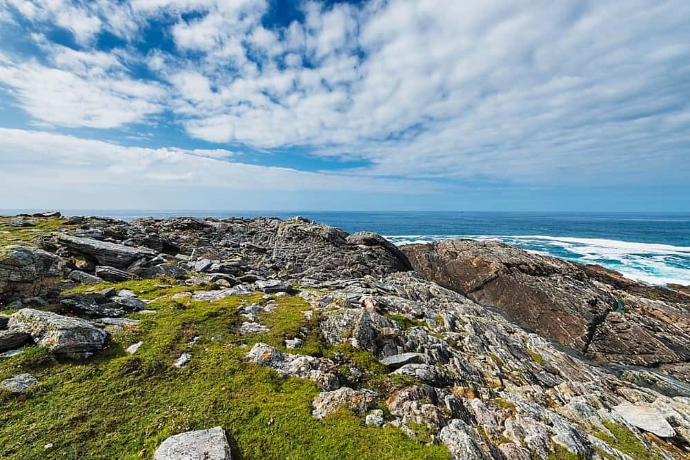 Annagh Br.Bridge · 1.6 mi
 BarraduffMemorial · 1.8 mi
 Six Mile Br.Bridge · 1.8 mi
 Reakaglaun FortFairy fort / earthen ringfort · 2.1 mi
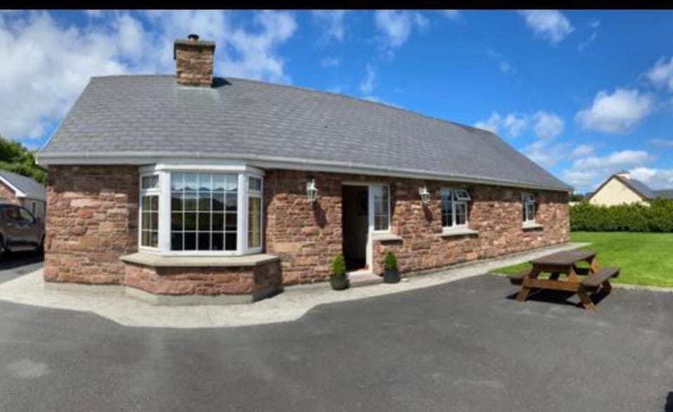 Enclosure in Cools (magunihy By.)Enclosure · 2.7 mi
 Killaha Castle (in Ruins)Castle, tower house · 4.7 mi
 Barna BogForest · 4.7 mi
 Killeen MountainMountain / peak · 4.9 mi
 Lissivigeen Stone CircleHeritage attraction · 5.3 mi
 The Paps WestMountain / peak · 5.6 mi
 Nohaval WoodWood · 5.9 mi
 Killarney First World War MemorialMemorial · 7.1 mi