What is recorded here
Much of Lisawaum has vanished under water or vanished into ordinary ground, but the west, north and south banks still trace a circle on the drumlin. That much of a hidden fort remains visible is neither nothing nor a mistake. It is a shape that refused to be erased completely.
Situated just SE of the summit of a high drumlin hill. When visited in 1969 (OPW 1969) the site was largely occupied by a reservoir. The outline of the perimeter comprising two substantial earthen banks with intermediate fosse could be traced from W-N-S. The remainder of the site has since been levelled.
The above description is derived from the published 'Archaeological Inventory of County Cavan' (Dublin: Stationery Office, 1995). In certain instances the entries have been revised and updated in the light of recent research.
Date of upload/revision: 22 December 2008
The monument record does not grant public access. Check the route and ask the landowner before entering private land.
- What survives
- Recorded monument
Places near here
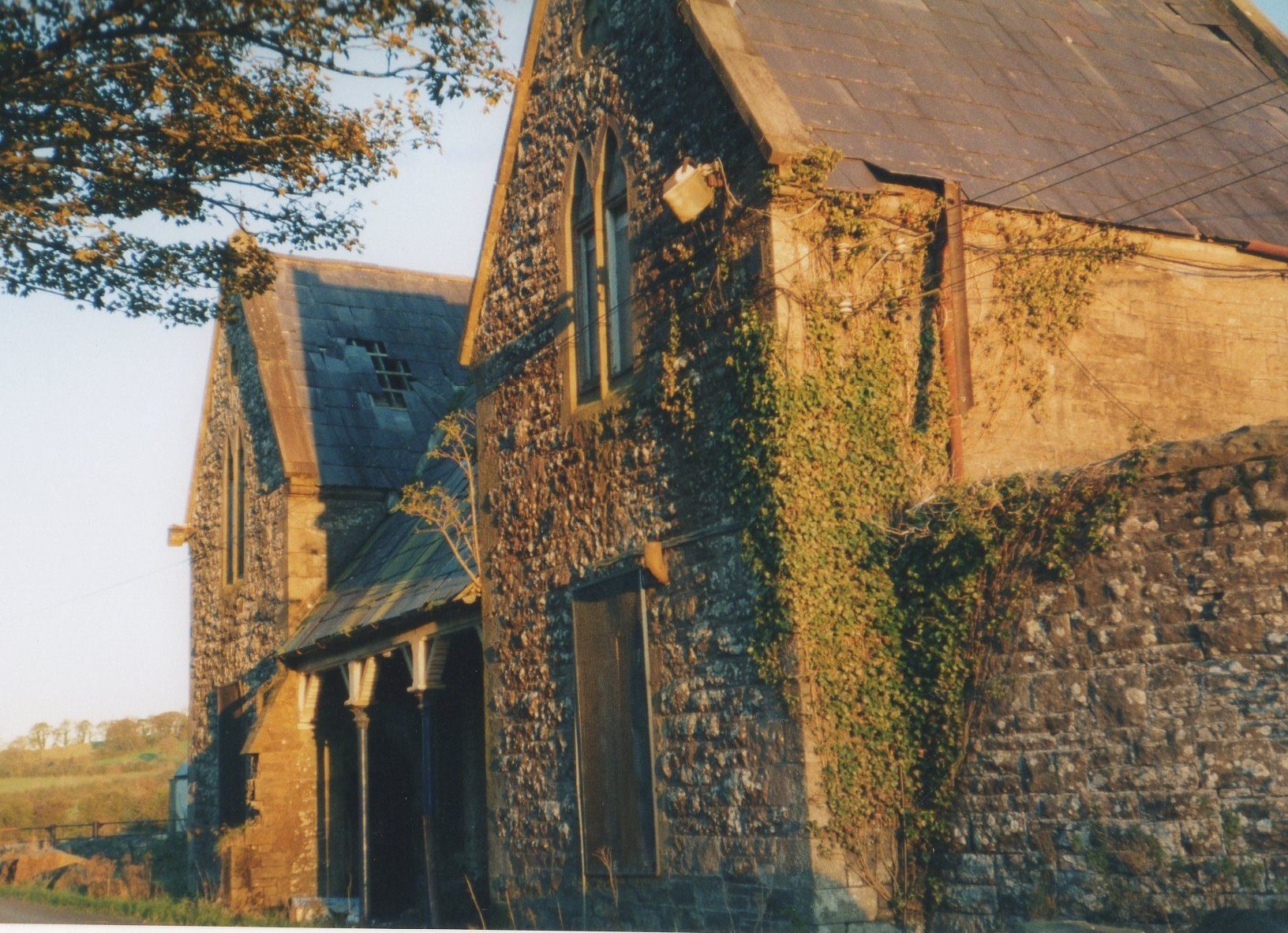 Cootehill Railway Stationrailway station · 777 yd
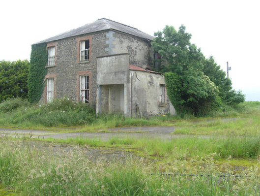 Cootehill Rectoryrectory/glebe/vicarage/curate's house · 837 yd
 Killycramph WoodForest · 1065 yd
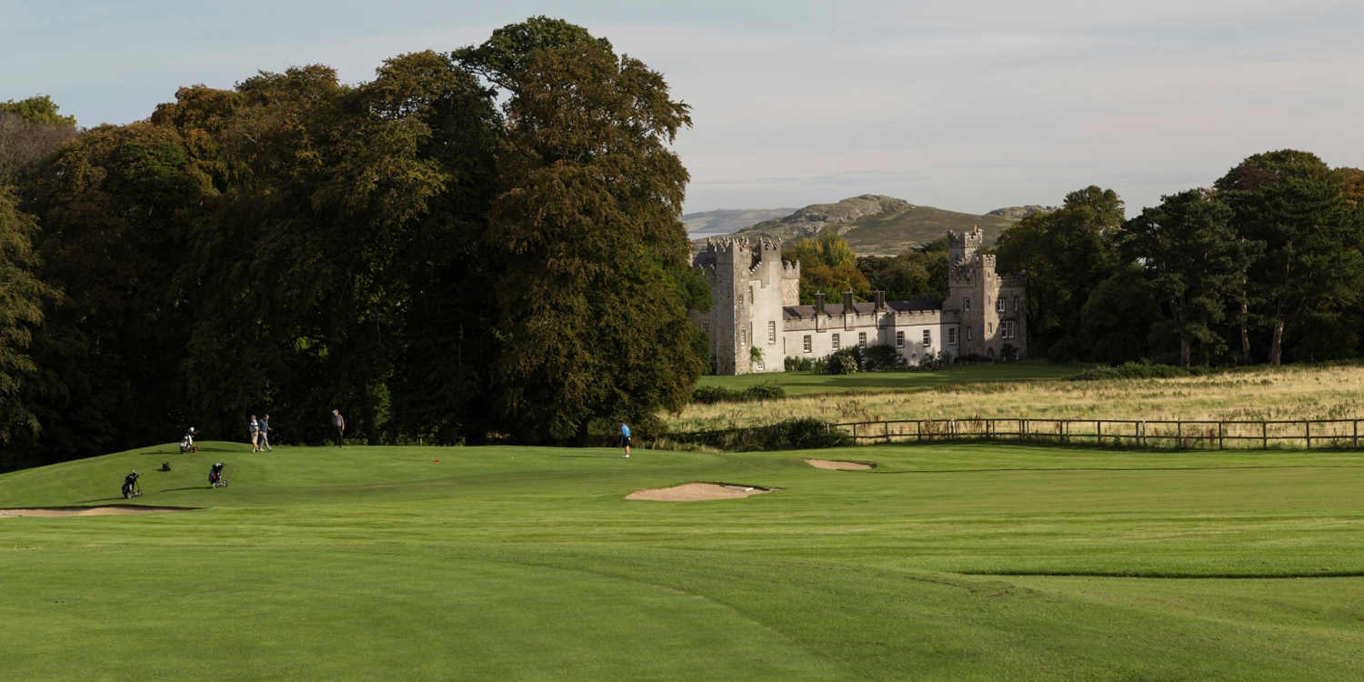 Deer ParkForest · 1339 yd
 Dromore HillMountain / peak · 1.5 mi
 Man-made underground passage in MoylemuckMan-made underground passage · 1.5 mi
 Fulacht fia in Dromore WestFulacht fia · 1.5 mi
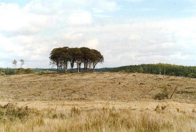 Flagpole HillMountain / peak · 1.5 mi
 CastleCastle, unclassified · 1.6 mi
 Giant's GraveArchaeological place · 2.2 mi
 Graveyard in Drumgoon (clankee By.)Graveyard · 2.5 mi
 Site of Old CastleCastle, unclassified · 3.8 mi