What is recorded here
Mortons and others built the fort, not fairies. They wanted a defensible home, a boundary marker, a place to keep livestock or display status. The name came later, when people stopped knowing the builders and looked for a simpler explanation.
Raised circular area (int. diam. 27m) enclosed by two earthen banks with intermediate fosse. Outer bank is best preserved from SE-S, incorporated into the field boundary from W-NW-N and removed elsewhere. Fosse generally wide and shallow except from S-SW-W. Break in inner bank at SE represents original entrance.
The above description is derived from the published 'Archaeological Inventory of County Cavan' (Dublin: Stationery Office, 1995). In certain instances the entries have been revised and updated in the light of recent research.
Date of upload/revision: 22 December 2008
The monument record does not grant public access. Check the route and ask the landowner before entering private land.
- What survives
- Recorded monument
Places near here
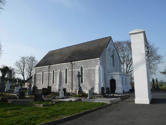 Catholic Church of Saint John the Evangelistchurch/chapel · 861 yd
 farmyard complexfarmyard complex · 912 yd
 Lisataggart FortArchaeological place · 977 yd
 Lisnageer FortFairy fort / earthen ringfort · 986 yd
 RaferaghMountain / peak · 1109 yd
 Bawn in LisdrumskeaBawn · 1.5 mi
 Sillan LakeshoreWood · 1.7 mi
 NorthlandsWood · 1.7 mi
 Bush IslandIslet · 1.8 mi
 Gull IslandIslet · 2.0 mi
 CarrickcreenyMountain / peak · 2.4 mi
 Giants GraveArchaeological place · 4.5 mi