What is recorded here
Yes. An adult can breathe, remember and want.
Raised circular area (int. diam. c. 38m) enclosed by a low earthen bank and a shallow fosse identifiable only at NW. Perimeter has been destroyed at W as a result of the construction of a modern dwelling-house. Original entrance not recognisable.
The above description is derived from the published 'Archaeological Inventory of County Cavan' (Dublin: Stationery Office, 1995). In certain instances the entries have been revised and updated in the light of recent research.
Date of upload/revision: 22 December 2008
This remains an important historical record, but the official description says the monument is no longer visible or has been destroyed. The monument record does not grant public access. Check the route and ask the landowner before entering private land.
- What survives
- No visible remains or recorded as destroyed
Places near here
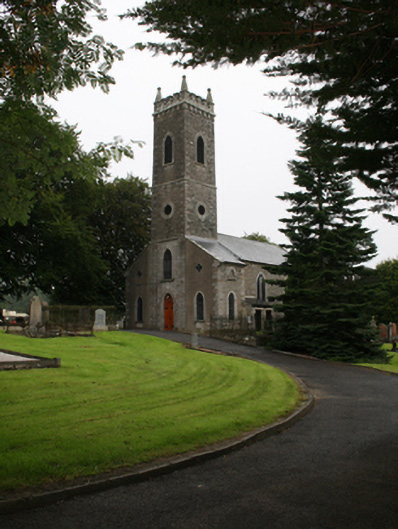 St Ernan's Church of Ireland Churchchurch/chapel · 173 yd
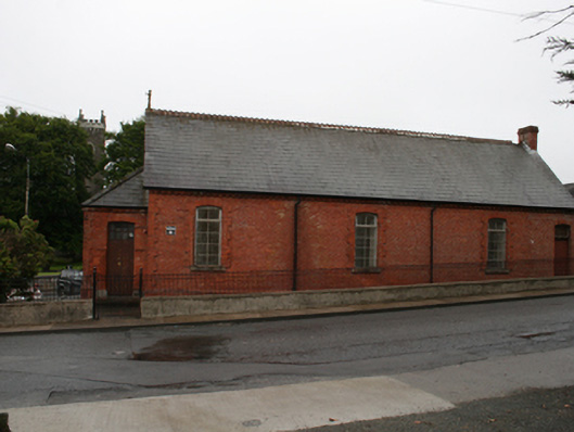 Kingscourt Parochial Hallchurch hall/parish hall · 183 yd
 Cross in EnniskeenCross · 1306 yd
 ToberarneyHoly well · 1369 yd
 CabraMountain / peak · 1530 yd
 The CurraghWood · 1626 yd
 Dún a Rí Forest ParkForest · 1.0 mi
 In Memory of Our DadMemorial · 1.2 mi
 Castle ruinsCastle, unclassified · 1.2 mi
 Natural Play AreaMemorial · 1.2 mi
 BarleyhillMountain / peak · 1.7 mi
 Castle in ruinsCastle, unclassified · 2.5 mi