What is recorded here
Thirty-five metres of grassy circle on a Monaghan drumlin, the Lisarearke fort has watched southeast storms since before McCrea drew it in 1793. Its earthen bank still stands a metre and a half high on the west side, while the eastern edge has slipped into a steep scarp. People may have kept livestock inside, hidden during raids, or simply marked the ridge for neighbours. The fairies, according to local story, never left.
Situated on the spine of the SE-facing slope of a NW-SE drumlin ridge. This rath is depicted as an earthwork on McCrea’s map of County Monaghan (1793) and on the 1834 and 1907 editions of the OS 6-inch map. It is a circular grass-covered area (diam. 35.5m NW-SE; 32m NE-SW) defined by an overgrown earthen bank (Wth c. 4m; int. H 0.3m; ext. H c. 1.5m at W to c. 3m at S ) SSE-W-NNW that is reduced to a scarp (at NE: H 2.7m) elsewhere, and an outer fosse (Wth c. 3m ; ext. D 0.6-1m) SE-SW. The entrance is a wide gap (Wth of base 5.1m) at SE.
The above description is derived from the published 'Archaeological Inventory of County Monaghan' (Dublin: Stationery Office, 1986). In certain instances the entries have been revised and updated in the light of recent research.
Revised by: Michael Moore
Date of revision: 8 May 2018
The monument record does not grant public access. Check the route and ask the landowner before entering private land.
- What survives
- Recorded monument
Places near here
 CarnroeCairn, unclassified · 510 yd
 IndicatedFairy fort / earthen ringfort · 897 yd
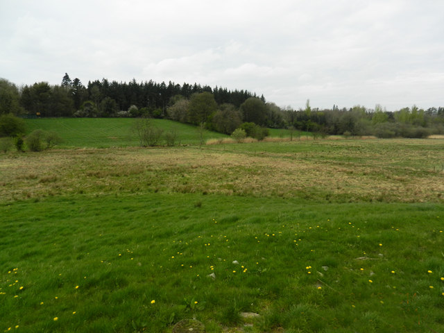 Carn WoodForest · 1323 yd
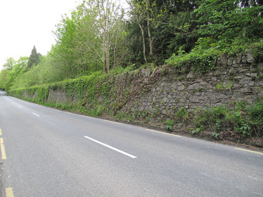 Hilton Parkdemesne walls/gates/railings · 1.0 mi
 Cush WoodWood · 1.0 mi
 Wall monument in DrumswordsWall monument · 1.1 mi
 LattacrossanMountain / peak · 1.9 mi
 CallowhillMountain / peak · 2.8 mi
 Ulster Canal Stores Visitor CentreHeritage attraction · 3.6 mi
 Abbey RuinsHeritage attraction · 3.7 mi
 Saint John's WellSpring · 3.8 mi
 Drumcarn Ho.Castle, unclassified · 4.5 mi