What is recorded here
Mortons and their kin likely built the Lisacullion fort on a drumlin ridge overlooking the lake, yet local legend still credits fairies with shaping the earth. Humans may have lived inside the blackthorn-choked ring before forgetting it, while the true residents never left. The fort stands at the edge of understanding, human enough to measure but strange enough to resist explanation.
Situated on the summit of a NW-SE drumlin ridge at the NW end overlooking Lough Lisacullion, the E shore of which is c. 170m to the W. This is a circular grass-covered area (diam. 30m NNW-SSE; 29.5m ENE-WSW) defined by an earthen bank (Wth of base 4.5-6m; int. H 0.1-0.2m; ext. H 2m) covered with blackthorn and furze, and an outer fosse or drain (Wth of base 1m; ext. D 0.2m) N-E. There are entrance gaps at SE (Wth of base 2m) and W (Wth 2m), but the original entrance is not identified. The interior was overlain by a NW-SE field bank towards the perimeter at NE in 1967, but it had become a farm lane after 2005 (OSAP).
The above description is derived from the published 'Archaeological Inventory of County Monaghan' (Dublin: Stationery Office, 1986). In certain instances the entries have been revised and updated in the light of recent research.
Revised by: Michael Moore
Date of revision: 30 January 2018
The monument record does not grant public access. Check the route and ask the landowner before entering private land.
- What survives
- Recorded monument
Places near here
 IndicatedCrannog · 404 yd
 Tally WoodWood · 1084 yd
 Trein Mors GraveMegalithic tomb · 1667 yd
 mill (water)mill (water) · 1.0 mi
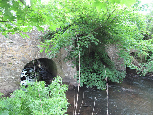 bridgebridge · 1.0 mi
 Lough Egish IslandIslet · 2.4 mi
 Rock IslandIslet · 2.5 mi
 CarrickcreenyMountain / peak · 3.6 mi
 RaferaghMountain / peak · 3.7 mi
 Sillan LakeshoreWood · 3.7 mi
 Bawn in LisdrumskeaBawn · 3.9 mi
 Senator Billy Fox 1939 - 1974Memorial · 4.4 mi