
What is recorded here
Situated in deep water in a bay (dims c. 240m N-S; c. 170m NE-SW) at the NE angle of the subrectangular Shantonagh Lough (max. dims c. 600m E-W; 530m N-S). This is a circular scrub-covered island (diam. 18m; max. H 1.5m) with a kerb of boulders (diam. c. 0.5m) visible at the SW shore and some piles visible in the water at NW.
The above description is derived from the published 'Archaeological Inventory of County Monaghan' (Dublin: Stationery Office, 1986). In certain instances the entries have been revised and updated in the light of recent research.
Revised by: Michael Moore
Date of revision: 30 January 2018
The monument record does not grant public access. Check the route and ask the landowner before entering private land.
- What survives
- Recorded monument
Places near here
 Tally WoodWood · 1095 yd
 Trein Mors GraveMegalithic tomb · 1451 yd
 Hut site in TooaHut site · 1478 yd
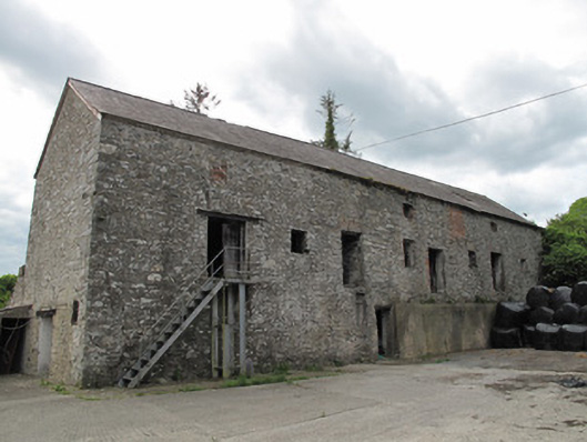 mill (water)mill (water) · 1534 yd
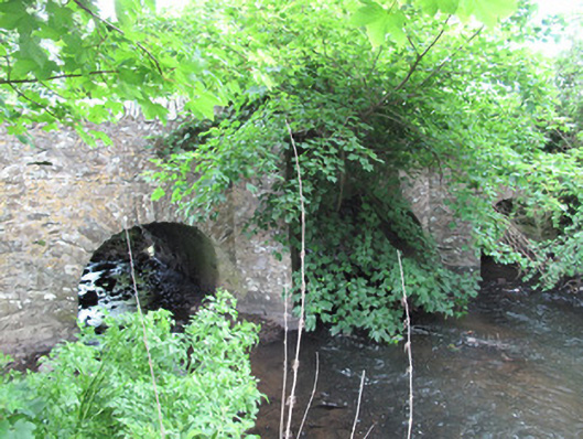 bridgebridge · 1543 yd
 Lough Egish IslandIslet · 2.4 mi
 Rock IslandIslet · 2.5 mi
 CarrickcreenyMountain / peak · 3.5 mi
 Sillan LakeshoreWood · 3.8 mi
 RaferaghMountain / peak · 3.8 mi
 Bawn in LisdrumskeaBawn · 3.9 mi
 Senator Billy Fox 1939 - 1974Memorial · 4.2 mi
Other information
Photo: Credit not shown in the picture search · Rights wording not checked; contact us if this picture should be removed