What is recorded here
Fairy fort is a circular ring of packed earth, wide enough to hold a small village and old enough to predate every written record in Cavan. People walked through the break in the bank at SSE, looked across the shallow ditch, and either entered or turned away depending on what they believed they would find. The land still treats the circle as a threshold rather than a ruin, which is why it remains unforgettable.
Raised circular area (int. diam. c. 40m) enclosed by a wide, low earthen bank incorporated into the field boundary from SSE-S-SSW, and vague traces of a fosse. Break in bank at SSE may represent original entrance.
The above description is derived from the published 'Archaeological Inventory of County Cavan' (Dublin: Stationery Office, 1995). In certain instances the entries have been revised and updated in the light of recent research.
Date of upload/revision: 22 December 2008
The monument record does not grant public access. Check the route and ask the landowner before entering private land.
- What survives
- Recorded monument
Places near here
 The CurraghWood · 541 yd
 Cross in EnniskeenCross · 893 yd
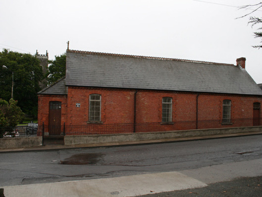 Kingscourt Parochial Hallchurch hall/parish hall · 1211 yd
 ToberarneyHoly well · 1230 yd
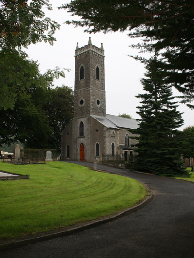 St Ernan's Church of Ireland Churchchurch/chapel · 1268 yd
 CabraMountain / peak · 1.5 mi
 Miltown GlenWood · 1.6 mi
 In Memory of Our DadMemorial · 1.8 mi
 Castle ruinsCastle, unclassified · 1.8 mi
 Natural Play AreaMemorial · 1.9 mi
 BarleyhillMountain / peak · 2.2 mi
 Castle in ruinsCastle, unclassified · 2.4 mi