What is recorded here
Located on a fairly level landscape. The cropmark of a bivallate enclosure is is visible on aerial photographs (MM (43) 16-21). The inner enclosure (diam. c. 30m) is defined by a fosse feature (Wth c. 3m) that may be open to the SE. The outer enclosure (int. diam. c. 50m) is defined by a substantial fosse feature (Wth c. 3-5m) that has a distinct opening (Wth c. 5m) at SE. At the centre of the inner enclosure there is a ring-ditch (diam. c. 8m) that is open to the N. It is conjoined with a second ring-ditch (diam. c. 8m) to the SE that is open to the SE and may be incorporating the entrance to the inner enclosure. The outer fosse at W cuts another ring-ditch (diam. c. 15m) defined by an unbroken fosse feature. About 10m N of the outer fosse at N there is another ring-ditch (diam. c. 10m), whose defining fosse feature appears to be continuous. The surrounding area is covered in the cropmarks of single drains creating rectangular fields (dims c. 20m x c. 50m to c. 50m x c. 50m) covering an area of c. 3 ha. The drains appear to overlie the enclosures and ring-ditches, and no breaks are visible in these drains that probably represent an 18th century field system.
See the attached aerial view
Compiled by: Michael Moore
Date of upload: 16 October, 2013
The monument record does not grant public access. Check the route and ask the landowner before entering private land.
- What survives
- Recorded monument
Places near here
 Church (in ruins)Church · 340 yd
 Linziestown Housefarm house · 498 yd
 Embanked enclosureFairy fort / earthen ringfort · 614 yd
 Field system in Ballyboher,paradise LittleField system · 619 yd
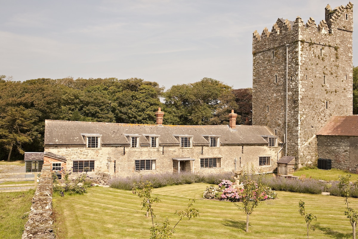 CastleCastle, tower house · 1003 yd
 Wilson's MoorWood · 1584 yd
 The HamBay · 1.0 mi
 The Bull RockForest · 1.3 mi
 Ballymacane CastleCastle, unclassified · 1.3 mi
 1798 Memorial PlaqueMemorial · 1.5 mi
 Sigginstown Island (Great)Island · 1.7 mi
 Sigginstown Island (Little)Islet · 1.8 mi