What is recorded here
Lightfield is a level pasture where a circular fort once stood, visible on an 1837 map and measured at twenty-six metres across in 1987. Ploughs or people later flattened that clear shape into a vague low mound, erasing the entrance and edge that made it a room rather than a bump. The fairies may have built it, or humans may have forgotten it, but the earth still holds the ghost of a boundary drawn in grass and stone.
In level pasture. Depicted as a circular enclosure with the designation 'Fort' on the 1837 ed. of the OS 6-inch map. A report in 1987 (SMR file) recorded a slightly raised circular area (diam. c. 26m) defined by a very low scarp with traces of a shallow external fosse. The original entrance was not recognisable. The rath has since been levelled. Its location is marked by a poorly defined, irregularly shaped, low mound of earth and stone (max. dim. 26m; max. H 0.3m).
Compiled by: Patrick F. O'Donovan
Date of upload: 16 January 2012
The monument record does not grant public access. Check the route and ask the landowner before entering private land.
- What survives
- Recorded monument
Places near here
 Man-made underground passage in Aghavadden,glebe (rathcline By., Cashel West Ed)Man-made underground passage · 739 yd
 Caltragh CastleCastle, unclassified · 815 yd
 Bawnaveragh FortFairy fort / earthen ringfort · 966 yd
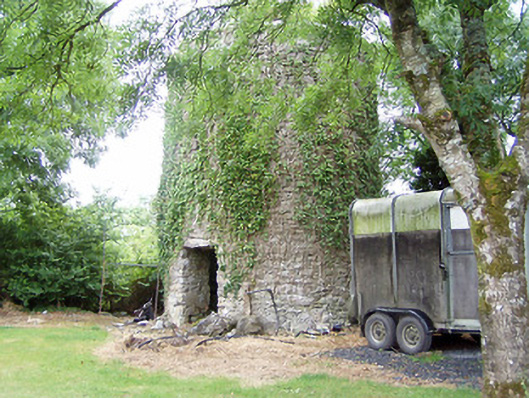 mill (wind)mill (wind) · 1552 yd
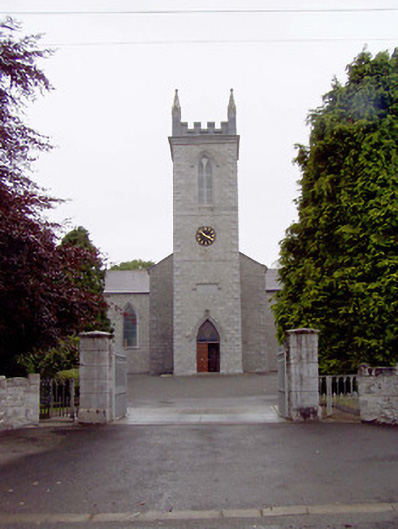 Catholic Church of the Nativity of the Blessed Virginchurch/chapel · 1665 yd
 Elfeet CastleCastle, Anglo-Norman masonry castle · 1.2 mi
 Culnagore WoodForest · 1.6 mi
 Elfeet BayBay · 1.7 mi
 Priest's IslandIslet · 1.8 mi
 Leveran IslandIslet · 1.9 mi
 Rinnagan PointHeadland · 3.5 mi
 St. John's WoodWood · 3.6 mi