What is recorded here
Situated on a N-S ridge with very good views to the SE. Overlooked by The Hill of Mael 1km to N and Rock of Curry 1.3km to NW. Circular area (diam. 30m N-S; 28m E-W) defined by a poorly preserved earthen bank best preserved from S-W-N, elsewhere reduced to a scarp, wide fosse and external bank. A gap in the bank at E may represent the original entrance. Running along the inner face of the inner bank there is a narrow flat ledge or berm (Wth 3-5m). The interior rises with the natural slope forming a circular shaped platform in the centre of the ringfort. The slight outline of a rectangular house (WM003-011001-) stands on top of this platform. No surface remains visible of Man-made underground passage (WM003-011002-) inside ringfort.
Compiled by: Frank Coyne & Caimin O'Brien
Date of upload: 9 December 2016
The monument record does not grant public access. Check the route and ask the landowner before entering private land.
- What survives
- Recorded monument
Places near here
 Partially outlinedFairy fort / earthen ringfort · 941 yd
 The Hill of MaelFairy fort / stone ringfort · 1165 yd
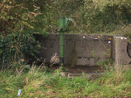 water pumpwater pump · 1353 yd
 Ballycomoyle National Schoolschool · 1443 yd
 Rock of CurryCliff · 1597 yd
 Castle (in Ruins)Castle, unclassified · 1.3 mi
 Hachured, dotted outlineCastle, motte and bailey · 1.5 mi
 Mullaghmeen ForestPicnic place · 2.1 mi
 European ashEuropean ash · 2.2 mi
 Mullaghmeen Red WalkWalking route · 2.2 mi
 Mullaghmeen White WalkWalking route · 2.3 mi
 MullaghmeenMountain / peak · 2.6 mi