What is recorded here
Lickadoon is a quiet place where a small fort disappeared under quarrying and pasture. It may have stood as a ring of earth and stone, wide enough for a household and a yard, before the land was taken for other uses. The field boundary still marks the edge of that forgotten shape.
Located immediately W of a field boundary on a natural rise in rolling pasture. Monument, depicted on the 1840 six-inch map as a sub-circular enclosure (diam. c. 25m) has been levelled and there is now no evident trace of it. The location has been the subject of small scale stone quarrying.
Compiled by: Denis Power
Date of upload: 28 May 2013
The monument record does not grant public access. Check the route and ask the landowner before entering private land.
- What survives
- Recorded monument
Places near here
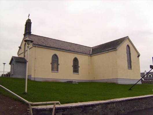 Saint Patrick's Catholic Churchchurch/chapel · 429 yd
 Not indicated, 394 ft. ODSettlement cluster · 902 yd
 Burial ground in KnockeaBurial ground · 920 yd
 MillMill, unclassified · 1097 yd
 Lickadoon Castle (in ruins)Castle, tower house · 1203 yd
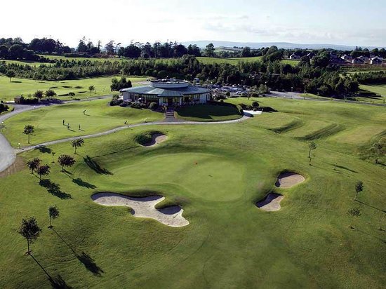 Ballyneety Castle (Site of)Castle, unclassified · 1.0 mi
 ToberauillinSpring · 1.7 mi
 Campus MapVisitor information · 4.8 mi
 Visitor CentreVisitor information · 4.8 mi
 Fountain SculptureHeritage attraction · 4.8 mi
 King's IslandIsland · 5.3 mi
 Graveyard in AbingtonGraveyard · 6.7 mi