What is recorded here
Lettermore holds a vanished ringfort where a deep, waterlogged ditch once cut through the earth around a raised oval space. The ditch is gone now, but the land still marks the shape of what stood there. People may have lived inside that circle, watched the water fill the trench at rain, and called the place a fairy fort because human ownership had slipped from memory. What is left is not a ruin but a suggestion, a shadow of boundary waiting for imagination to complete it.
Although the site has been levelled, the outline of its enclosing features is still identifiable. It formerly comprised a raised oval area (int. dims. c. 50m NE-SW; c. 43m WNW-ESE) enclosed by a low earthen bank and a wide, deep, waterlogged fosse. When first recorded, the original entrance was not recognisable (OPW 1968). No visible remains at ground level.
The above description is derived from the published 'Archaeological Inventory of County Cavan' (Dublin: Stationery Office, 1995). In certain instances the entries have been revised and updated in the light of recent research.
Date of upload/revision: 22 December 2008
The monument record does not grant public access. Check the route and ask the landowner before entering private land.
- What survives
- Recorded monument
Places near here
 IndicatedFairy fort / earthen ringfort · 971 yd
 BarraghMountain / peak · 1216 yd
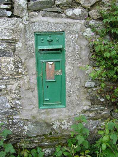 post boxpost box · 1243 yd
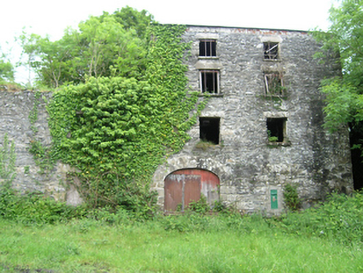 Coppanagh Millsmill (water) · 1246 yd
 Embanked enclosureBawn · 1.0 mi
 BarrowBarrow, ring-barrow · 1.1 mi
 Bawn in DrumsheilBawn · 1.4 mi
 DernaskeaghMountain / peak · 1.6 mi
 McCullagh's PlantationWood · 1.9 mi
 Island WoodWood · 2.1 mi
 Giant's GraveArchaeological place · 2.3 mi
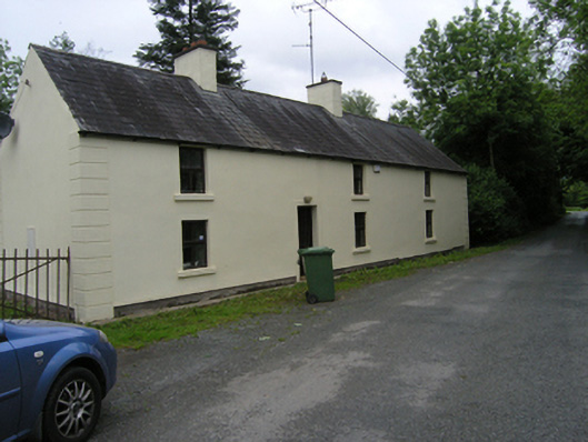 miller's housemiller's house · 1290 yd