What is recorded here
Situated on E facing slop of a natural hillock in grassland with ringfort (WM011-014----) 190m to SE. A stream marking the townland boundary with Fulmort lies 80m to NE while a field fence which intersects sit at S marks the townland boundary with Knockmorris. Present remains consist of an oval shaped area (approx. diam. 43m N-S; 42m E-W) enclosed by two earthen banks with an intervening fosse. The fosse is visible from W-N only. The interior has a general slope from W-E. A field fence running NE-SW which forms the townland boundary with Knockmorris intersects the perimeter of the site from SE-S, and a second field fence which runs NW-SE intersects the site from S-W. It has been suggested that this may be a barrow but the internal appears to be a ditch associated with the townland boundary.
Compiled by: Frank Coyne and Caimin O'Brien
Date of upload: 13 June 2017
The monument record does not grant public access. Check the route and ask the landowner before entering private land.
- What survives
- Recorded monument
Places near here
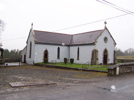 Saint Patrick's Catholic Churchchurch/chapel · 612 yd
 Carrick CastleCastle · 988 yd
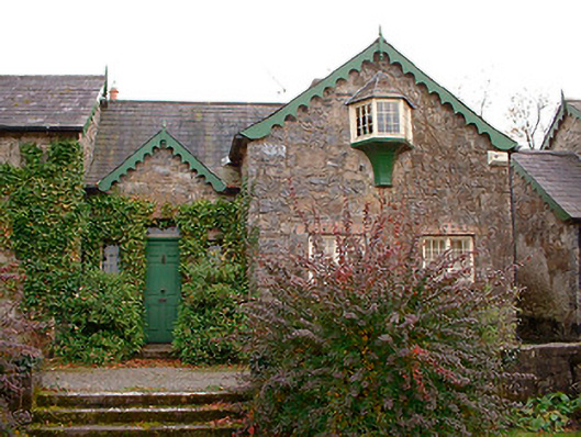 Wilson's Hospitalworker's house · 1193 yd
 Ecclesiastical enclosure in LenyEcclesiastical enclosure · 1231 yd
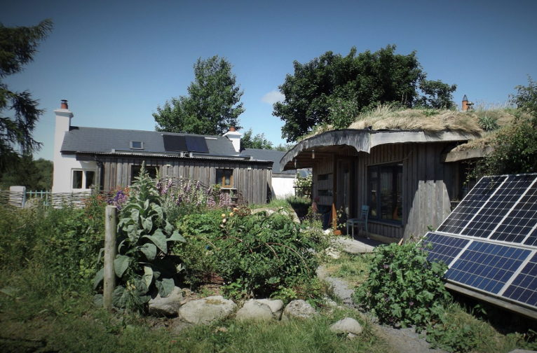 Enclosure in LackanEnclosure · 1387 yd
 Castle Quarter, Castle (in ruins)Castle, unclassified · 1.5 mi
 Bridge Memorial (Kenna)Memorial · 1.7 mi
 Baronstown ForestWood · 3.5 mi
 Horse-chestnutHorse-chestnut · 3.6 mi
 Carrickphilbin IslandIslet · 3.9 mi
 Srudarra IslandIslet · 4.5 mi
 Rock of CurryCliff · 8.8 mi