What is recorded here
The largest ringfort in County Galway is a subcircular rath, 52.5m across, with three banks and three ditches at the west end of a glacial ridge in Meanus. Its eastern entrance causeway is twelve metres wide, and a man-made underground passage cuts through the western interior. The scale suggests a stronghold rather than a farmhouse, perhaps a seat for a local chieftain or a refuge during raids. The fairies may have inherited it later, but the size and depth of its defences point to human ambition first.
At the W end of a glacial ridge in undulating grassland. This large well-preserved subcircular rath (52.5m E-W; 46.5m N-S) is defined by a scarp, three banks and three intervening fosses. The central scarp is evident throughout. The inner bank is visible from WSW to NNE; elsewhere a scarp forms the enclosing element. The middle bank survives from E to ESE and from WSW to ENE; from ESE to WSW a scarp is visible. The outermost bank survives from NW through E to SW; elsewhere its line is preserved in a curving field boundary. The three fosses are extant all round. There is a well-defined entrance causeway (Wth 12m) at E. A Man-made underground passage (GA098-115001-) lies in the W sector of the interior. Knox’s plan (1918a, 78) includes a possible annexe at NW. No visible surface trace of this feature survives. (Westropp 1919, 183-4)
Compiled by: Galway Archaeological Survey, UCG
Date of upload: 12 January 2018
The monument record does not grant public access. Check the route and ask the landowner before entering private land.
- What survives
- Recorded monument
Places near here
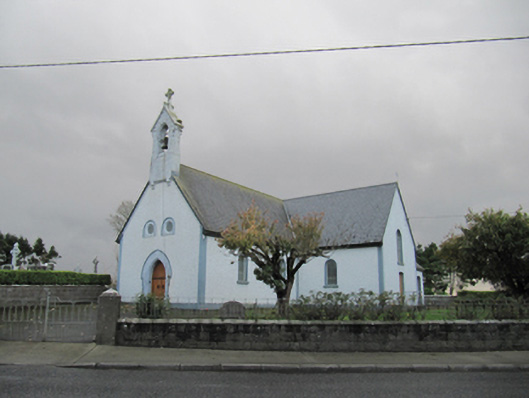 Catholic Church of Our Lady of Lourdeschurch/chapel · 393 yd
 Old ChapelChurch · 407 yd
 CrossCross · 1157 yd
 Enclosure in BallyhoganEnclosure · 1.3 mi
 Dartfield Horse MuseumHeritage attraction · 1.3 mi
 Drought Castle (in Ruins)Castle, tower house · 1.6 mi
 Kilcooly Castle (in ruins)Castle, tower house · 2.5 mi
 Turoe StoneHeritage attraction · 4.9 mi
 Long PointHeadland · 5.7 mi
 Stone Islands SouthIslet · 5.8 mi
 Island McCooIslet · 6.0 mi
 Battle of AughrimMajor battlefield · 7.1 mi