What is recorded here
Lavagh holds a vanished rath beneath a modern garden, where a substantial earthen bank once rose before human hands or time smoothed it into grass. The fort likely sheltered people, excluded strangers, and marked local authority long before the dwelling appeared. Its disappearance is not a loss but a transformation: the earth absorbed the boundary, the garden continues the act of living there, and the fort lives on as the hidden shape beneath an ordinary house.
A modern dwelling and garden now occupy most of this site. All that survives of the rath are traces of a fosse and former substantial earthen bank running from NE-E. Otherwise no visible remains at ground level.
The above description is derived from the published 'Archaeological Inventory of County Cavan' (Dublin: Stationery Office, 1995). In certain instances the entries have been revised and updated in the light of recent research.
Date of upload/revision: 22 December 2008
The monument record does not grant public access. Check the route and ask the landowner before entering private land.
- What survives
- Recorded monument
Places near here
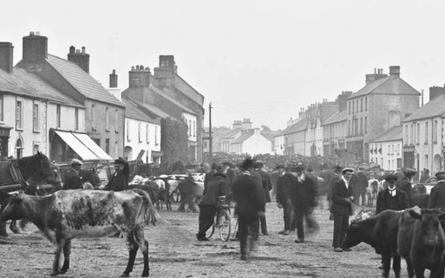 IndicatedFairy fort / earthen ringfort · 733 yd
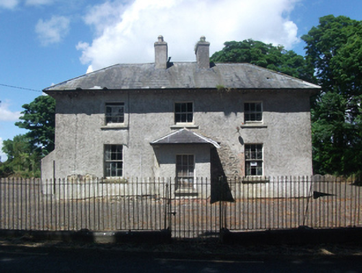 schoolschool · 738 yd
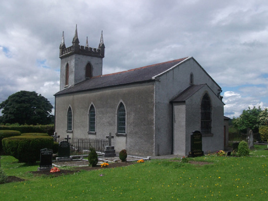 St Paul's Church of Ireland Churchchurch/chapel · 756 yd
 CastleCastle, motte · 1213 yd
 CrossCross, Wayside cross · 1621 yd
 Deer ParkWood · 1.4 mi
 Aghakilmore LowerMountain / peak · 1.6 mi
 Crane IslandIslet · 1.6 mi
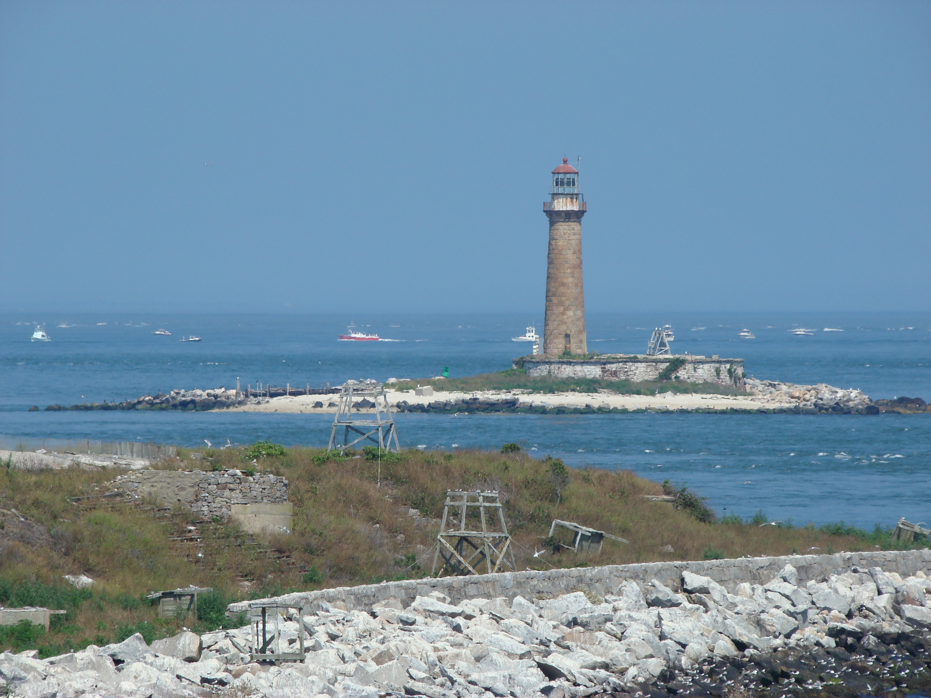 Gull IslandIslet · 1.7 mi
 In Loving Memory of Killian CaseyMemorial · 2.2 mi
 Crover Old Castle (in Ruins)Castle, tower house · 2.4 mi
 Muldarry PointHeadland · 2.7 mi