What is recorded here
Fairy fort in Lattacrossan: 25.7m earthen ring, external fosse, no visible entrance. Not a garden ornament, but a boundary marker: inside belongs to the claimant, outside belongs to the road and rain. The missing gate does not weaken the fort; it refuses to be completed by human memory.
The following description is derived from the published 'Archaeological Inventory of County Monaghan' (Dublin: Stationery Office, 1986). In certain instances the entries have been revised and updated in the light of recent research.
Date of upload/revision: 17 July 2007
Circular area (c. 25.7m NE-SW; 27.5m NW-SE) surrounded by earthen bank with external fosse. No visible trace of original entrance.
This remains an important historical record, but the official description says the monument is no longer visible or has been destroyed. The monument record does not grant public access. Check the route and ask the landowner before entering private land.
- What survives
- No visible remains or recorded as destroyed
Places near here
 LattacrossanMountain / peak · 548 yd
 Worm Ditch or Black Pigs RaceArchaeological place · 714 yd
 IndicatedFairy fort / earthen ringfort · 994 yd
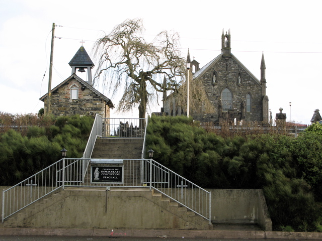 Church in MagherintempleChurch · 1482 yd
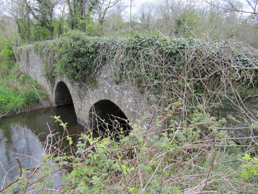 bridgebridge · 1.2 mi
 CallowhillMountain / peak · 1.2 mi
 Cush WoodWood · 1.6 mi
 The Beech WoodWood · 1.7 mi
 Drumcarn Ho.Castle, unclassified · 2.8 mi
 Bawn in DrumsheilBawn · 4.0 mi
 Giant's GraveArchaeological place · 4.2 mi
 Ulster Canal Stores Visitor CentreHeritage attraction · 4.9 mi