What is recorded here
Larkfield holds a thirty-five metre ring on a low drumlin, marked as a fort on the 1837 map and still visible through broken bank, drystone patches and trees that grew where people once drew a line around their own world. It is not a grand castle or a clear ceremonial stage. It is a small claim made visible: so much belongs to us, so much does not, and the earth must be shaped until everyone can see the answer.
On a low drumlin rise. Depicted as a circular enclosure with the designation 'Fort' on the 1837 ed. of the OS 6-inch map. A raised subcircular area (35m N-S; 33m E-W) enclosed by a low bank of earth and stone (Wth 2.4-3.8m; H 0.3-0.9m). Drystone masonry has been applied to the outer face of the bank from SSW-N-E. Elsewhere it has been destroyed due to the construction of now-disused farm buildings. There is no trace of a fosse and the original entrance is not recognisable. Deciduous trees growing on the bank suggest that the rath was modified and reused as a tree-ring.
Compiled by: Patrick F. O'Donovan
Date of upload: 26 August 2011
This remains an important historical record, but the official description says the monument is no longer visible or has been destroyed. The monument record does not grant public access. Check the route and ask the landowner before entering private land.
- What survives
- No visible remains or recorded as destroyed
Places near here
 St. Columbas R.C. ChurchChurch · 1315 yd
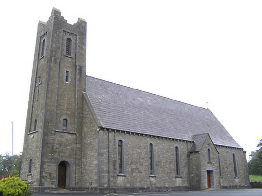 Saint Columba's Catholic Churchchurch/chapel · 1369 yd
 IndicatedCrannog · 1487 yd
 Derrycassan WoodsWood · 1720 yd
 Enclosure in AghanoranEnclosure · 1.2 mi
 Cornamucklagh WoodlandWood · 1.6 mi
 InchmoreIslet · 1.7 mi
 CornagranMountain / peak · 1.9 mi
 Cloone Ho.Castle, unclassified · 2.0 mi
 Scrabby IslandIslet · 2.0 mi
 ToomeMountain / peak · 2.0 mi
 IdicatedCastle, unclassified · 3.6 mi