What is recorded here
Forthenry holds a broken rectangular cage forty-seven metres long where human hands built an earthen wall before field boundaries cut through its southern memory. The northern bank still stands while the southern edge has vanished into soil and ownership, erasing the entrance that once admitted life. What remains is not a complete fortress but a temporal wound: a place where human intention emerged, dominated the landscape, and retreated so far that only measurement and absence testify to its existence.
An earlier report (OPW 1968) described a subrectangular area (int. dims. 47m N-S; 24m E-W) enclosed by an earthen bank from NW-N-SE and elsewhere by a scarp with slight remains of an earthen bank on its upper edge in places. At that time, much of the S half of the site had already been disturbed by field boundaries. Original entrance not recognisable. Not visible at ground level.
The above description is derived from the published 'Archaeological Inventory of County Cavan' (Dublin: Stationery Office, 1995). In certain instances the entries have been revised and updated in the light of recent research.
Date of upload/revision: 22 December 2008
The monument record does not grant public access. Check the route and ask the landowner before entering private land.
- What survives
- Recorded monument
Places near here
 Fort HenryArchaeological place · 1009 yd
 IndicatedFairy fort / earthen ringfort · 1048 yd
 DernaskeaghMountain / peak · 1303 yd
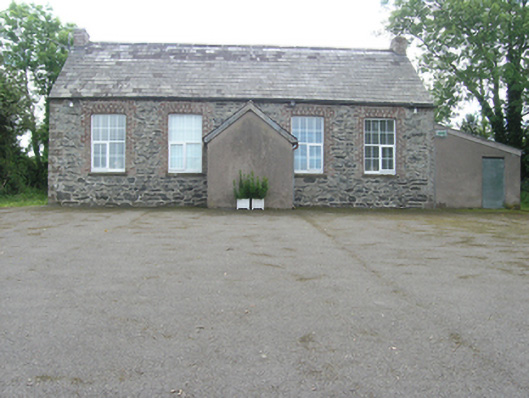 Rathkenny Orange HallOrange Hall · 1312 yd
 Bawn in DrumsheilBawn · 1519 yd
 Embanked enclosureBawn · 1715 yd
 McCullagh's PlantationWood · 1739 yd
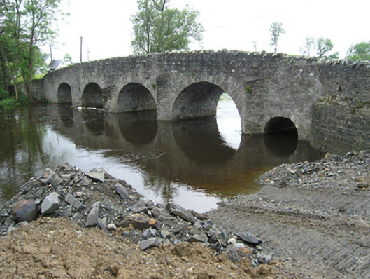 Rathkenny Bridgebridge · 1.1 mi
 Island WoodWood · 1.2 mi
 BarraghMountain / peak · 1.4 mi
 Giant's GraveArchaeological place · 1.4 mi
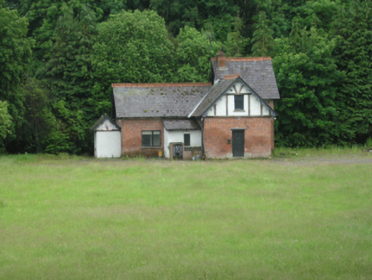 cottage orneecottage ornee · 1.2 mi