
What is recorded here
Marked 'Fort' on OS 1836 eds. Small raised circular area (int. diam 17.5m N-S) enclosed by a low steep-sided earthen bank. At the external foot of the bank is a narrow shallow ditch which appears to be modern. An earlier report (OPW 1969) suggested that the original entrance may have been at SE and recorded a 'slight artifical-looking depression inside the bank at E'. The internal area has been planted with coniferous trees.
The above description is derived from the published 'Archaeological Inventory of County Cavan' (Dublin: Stationery Office, 1995). In certain instances the entries have been revised and updated in the light of recent research.
Date of upload/revision: 22 December 2008
The monument record does not grant public access. Check the route and ask the landowner before entering private land.
- What survives
- Recorded monument
Places near here
 Bawn in DrumsheilBawn · 732 yd
 DernaskeaghMountain / peak · 1385 yd
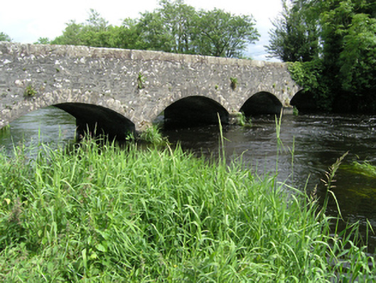 Killycreeny Bridgebridge · 1462 yd
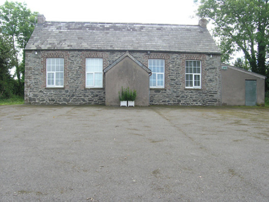 Rathkenny Orange HallOrange Hall · 1641 yd
 Fort HenryArchaeological place · 1.1 mi
 BarraghMountain / peak · 1.1 mi
 McCullagh's PlantationWood · 1.1 mi
 Drummury FortArchaeological place · 1.2 mi
 Island WoodWood · 1.3 mi
 Embanked enclosureBawn · 1.5 mi
 Giant's GraveArchaeological place · 1.9 mi
 Graveyard in Drumgoon (clankee By.)Graveyard · 5.2 mi
Other information
Photo: Credit not shown in the picture search · Rights wording not checked; contact us if this picture should be removed