What is recorded here
Situated on a level landscape. This is a rectangular grass-covered area (dims 37m NW-SE; 25m NE-SW) defined, by low earthen banks (Wth 4.5-5.5m; H 0.3m) at SE and SW and field banks or a slight scarp at NW and NE. There is no visible fosse or recognisable entrance, but it may be a rath.
The above description is derived from the published 'Archaeological Inventory of County Wexford' (Dublin: Stationery Office, 1996). In certain instances the entries have been revised and updated in the light of recent research.
Compiled by: Michael Moore
Date of upload/revision: 18 February 2014
The monument record does not grant public access. Check the route and ask the landowner before entering private land.
- What survives
- Recorded monument
Places near here
 Convent of Saint John of Godconvent/nunnery · 286 yd
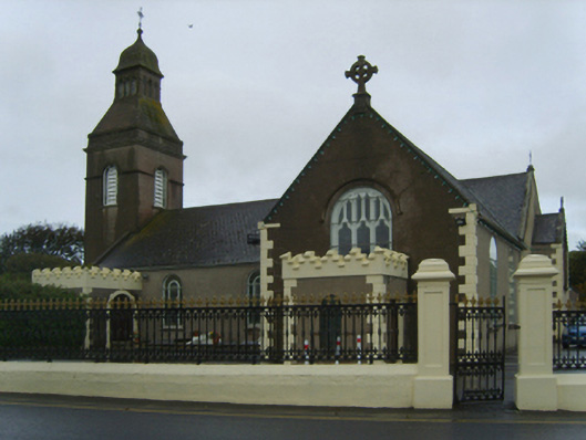 Catholic Church of the Blessed Virgin Mary, Saint Anne and Saint Josephchurch/chapel · 332 yd
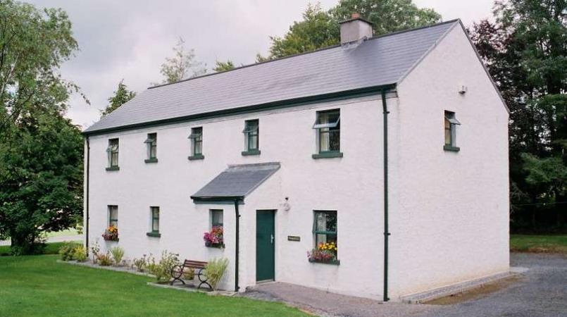 Enclosure in LannaghEnclosure · 654 yd
 St. Patricks WellHoly well · 1216 yd
 CastleCastle, unclassified · 1471 yd
 Castle (in ruins)Castle, tower house · 1.2 mi
 Ballyhealy BeachBeach / strand · 1.8 mi
 Ivan Sutton Art ExhibitionGallery · 2.6 mi
 Kilmore Quay - Crehen Twinning MemorialMemorial · 2.6 mi
 1798 Memorial PlaqueMemorial · 2.7 mi
 Whale boneHeritage attraction · 2.8 mi
 Kilmore Quay Walking TrailVisitor information · 2.8 mi