What is recorded here
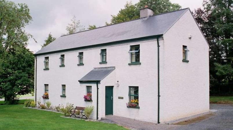
Situated on a level low-lying landscape. The cropmark of a subrectangular enclosure (int. dims c. 70m NW-SE; c. 40m NW-SE) defined by a wide inner (Wth c. 5m) and narrower outer fosse features is visible on aerial photographs (CUCAP, AVK 64-8). A circular enclosure within (diam. c. 30m) is defined by a slight fosse feature N-SE, incorporating part of the inner rectilinear feature SE-W-N. It was not visible at ground level in a cereal crop in 1988. A house has been built on it since 1995 (OSI aerial photographic images).
The above description is derived from the published 'Archaeological Inventory of County Wexford' (Dublin: Stationery Office, 1996). In certain instances the entries have been revised and updated in the light of recent research.
Compiled by: Michael Moore
Date of upload/revision: 18 February 2014
A local fairy fort (ringfort/rath); wider significance not recorded.
The monument record does not grant public access. Check the route and ask the landowner before entering private land.
- What survives
- Recorded monument
Places near here
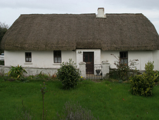 farm housefarm house · 62 yd
 Church in ruinsChurch · 744 yd
 St. Patricks WellHoly well · 861 yd
 Enclosure in BallyhartyEnclosure · 1265 yd
 CastleCastle, unclassified · 1.2 mi
 Castle (in ruins)Castle, tower house · 1.4 mi
 Ballyhealy BeachBeach / strand · 2.0 mi
 Ivan Sutton Art ExhibitionGallery · 2.3 mi
 Kilmore Quay - Crehen Twinning MemorialMemorial · 2.3 mi
 Memorial Trail & Garden in Honour of Those Lost at SeaMemorial · 2.4 mi
 Whale boneHeritage attraction · 2.5 mi
 Kilmore Quay Walking TrailVisitor information · 2.5 mi
Other information
Photo: Credit not shown in the picture search · Rights wording not checked; contact us if this picture should be removed