What is recorded here
Fairy forts are human ringforts misnamed because people stopped remembering they were human. In Lamagh, a circular earthwork stood on a pasture slope with a wide outside ditch and a possible southwest entrance. Farmers later levelled it for grass, erasing the very shape that made it a fort. The fairies never lived there; human memory did, until the plough removed it.
On a SW-facing slope in pasture. Depicted as a circular enclosure with the designation 'Fort' on the 1837 ed. of the OS 6-inch map. A report in 1967 (SMR file) recorded a raised circular area (diam. c. 38m) enclosed by a low bank of earth and stone with a wide, deep, external fosse. The original entrance may have been at SW. It has since been levelled and only the outline of its perimeter is identifiable.
Compiled by: Patrick F. O'Donovan
Date of upload: 26 August 2011
The monument record does not grant public access. Check the route and ask the landowner before entering private land.
- What survives
- Recorded monument
Places near here
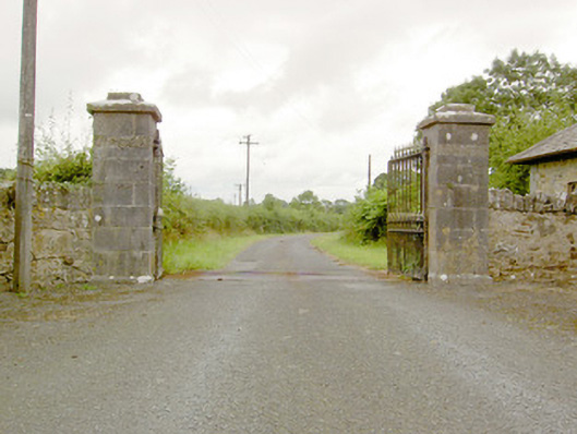 Lismoy Housegates/railings/walls · 1034 yd
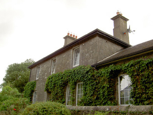 Newtown Forbes Railway Stationrailway station · 1399 yd
 Enclosure in MinardEnclosure · 1409 yd
 IndicatedFairy fort / earthen ringfort · 1506 yd
 Pedunculate OakPedunculate Oak · 1.2 mi
 Common LimeCommon Lime · 1.2 mi
 CastleforbesCastle · 1.6 mi
 Bawn in Castleforbes DemesneBawn · 1.6 mi
 Saint Mel's CathedralCathedral · 2.4 mi
 First World War MemorialMemorial · 2.5 mi
 Graveyard in Curry (ardagh By., Coolamber Ed)Graveyard · 5.0 mi
 Commons North WalkVisitor information · 9.5 mi