What is recorded here
Thirty-two metres across, the Lahard fort is a raised circle wrapped in a deep fosse and dense green growth. A modern laneway cuts along its northern edge, while a blocked gap at the southeast marks the entrance people once used. A spring still flows at the northeast, feeding the grass and giving the old earth a living pulse.
Raised circular area (int. diam. c. 32m) enclosed by a substantial earthen bank and a wide, deep fosse. From NW-N-S a modern laneway extends along the fosse. Partially blocked break in bank at SE probably represents original entrance. Spring well at NE. Densely overgrown with vegetation.
The above description is derived from the published 'Archaeological Inventory of County Cavan' (Dublin: Stationery Office, 1995). In certain instances the entries have been revised and updated in the light of recent research.
Date of upload/revision: 22 December 2008
The monument record does not grant public access. Check the route and ask the landowner before entering private land.
- What survives
- Recorded monument
Places near here
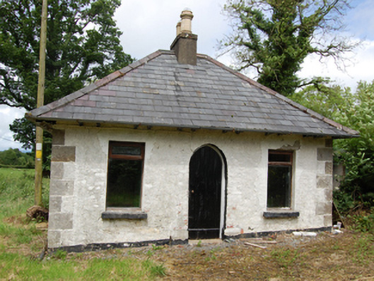 Tully Housegate lodge · 1045 yd
 Creenagh GlebeMountain / peak · 1291 yd
 Drumgoon Bog WoodForest · 1472 yd
 Holy WellHoly well · 1738 yd
 AghnacorMountain / peak · 1.0 mi
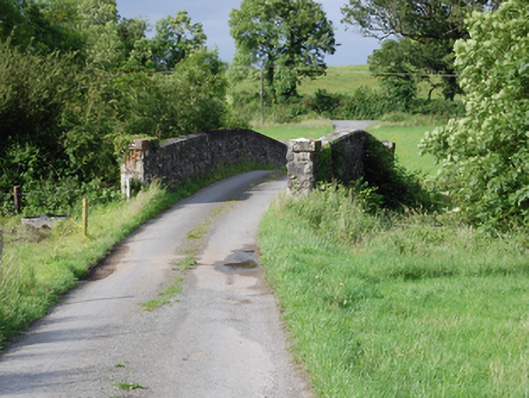 bridgebridge · 1.1 mi
 Grave YardEcclesiastical enclosure · 1.4 mi
 Inch IslandIslet · 2.1 mi
 Trinity Island WoodForest · 2.1 mi
 Cornafean GFCMemorial · 2.4 mi
 Killykeen Forest ParkForest · 2.4 mi
 Killeshandra Irish Countrywomen's Association 70th AnniversaryMemorial · 2.4 mi